What is recorded here
On a gradual S-facing slope in undulating terrain, under tillage. Monument indicated as a roughly square enclosure on 1st (1840) ed. OS 6-inch map but is not depicted on the 2nd (1901-05) ed. suggesting it was levelled in the intervening period. Moated site shows up on an aerial photograph (Air Corps V.312/3079-8) as a cropmark, the N and W sides of which are straight though the E and S sides are less well defined. Despite being levelled the moated site is still visible as a raised area (diam. 28.6m N-S; 25.8m E-W) defined by a very low broad rise (Wth c. 10m; H c. 37m).
Compiled by: Jean Farrelly
Date of upload: 26 August 2011
The monument record does not grant public access. Check the route and ask the landowner before entering private land.
- What survives
- Recorded monument
Places near here
 Church in GarrangibbonChurch · 882 yd
 CastleCastle, ringwork · 1264 yd
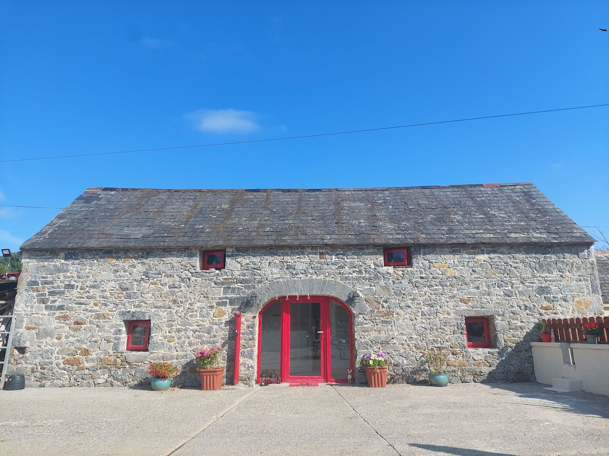 Enclosure in Bleenaleen UpperEnclosure · 1549 yd
 Concentric enclosure in Brittas (kilmurry Par.)Concentric enclosure · 1722 yd
 Whitehall Bridgebridge · 1.4 mi
 Carrigaloe RockNamed rock · 1.6 mi
 Wild CherryWild Cherry · 1.6 mi
 Kilcash WoodForest · 1.6 mi
 Curraghdobbin HillMountain / peak · 1.8 mi
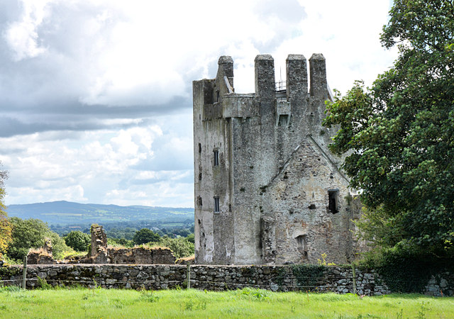 Bawn in KilcashBawn · 2.2 mi
 SheegounaMountain / peak · 2.7 mi
 The SpoutMemorial · 3.0 mi