
What is recorded here
On a gradual N-facing slope towards summit of hill, under grass. Monument indicated on both 1st (1840) and 1901-05 ed. OS 6-inch map and was upstanding in Air Corps aerial photograph (V.312/3079/8). Monument levelled c. 1990 as were all surrounding field boundaries, including curving field boundary c. 25m to N and field boundary which bisected the enclosure from N to S. Circular outline of enclosure still visible (diam. c. 39.6m N-S; c. 34.6m E-W), defined by scarp (H c. 0.4m). Ground at edge of SE quadrant is disturbed. Monument was formerly enclosed by an earthen bank which was max. H of c. 1.5m above exterior. Curving field boundary to N may be respecting the enclosure or may be part of an outer defence.
Compiled by: Jean Farrelly
Date of upload: 26 August 2011
The monument record does not grant public access. Check the route and ask the landowner before entering private land.
- What survives
- Recorded monument
Places near here
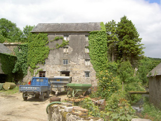 mill (water)mill (water) · 1169 yd
 Enclosure in MayladstownEnclosure · 1250 yd
 Kilcash WoodForest · 1307 yd
 Bawn in KilcashBawn · 1317 yd
 CastleCastle, ringwork · 1530 yd
 Wild CherryWild Cherry · 1565 yd
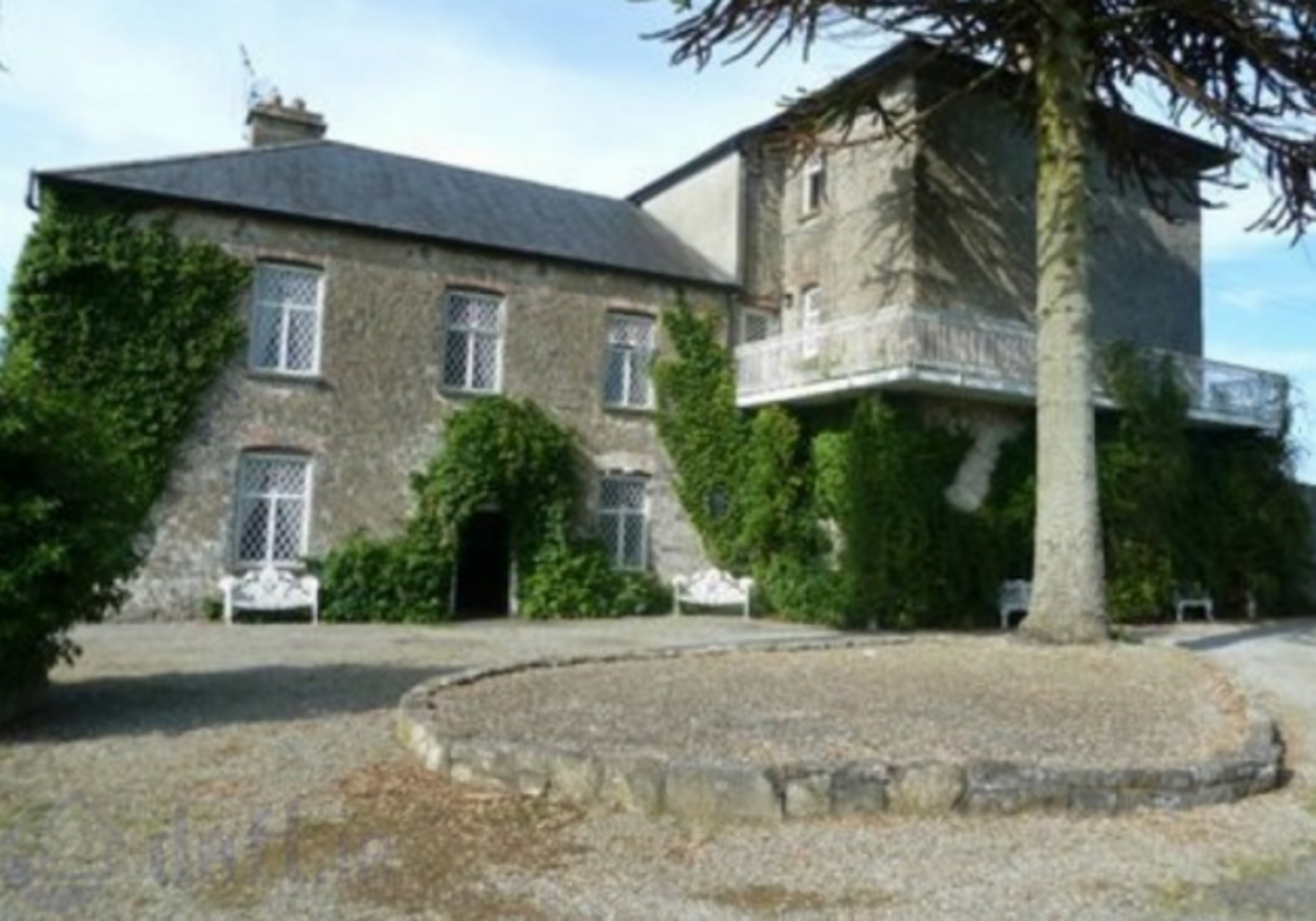 Enclosure in KnockrathkellyEnclosure · 1.0 mi
 Carrigaloe RockNamed rock · 1.0 mi
 Church in GarrangibbonChurch · 1.1 mi
 Curraghdobbin HillMountain / peak · 1.6 mi
 Thomas KielyMemorial · 2.7 mi
 SheegounaMountain / peak · 3.0 mi
Other information
Photo: Credit not shown in the picture search · Rights wording not checked; contact us if this picture should be removed