What is recorded here
Roughly square-shaped earthwork, possibly a moated site visible in on aerial photograph (LS_AS_67BWN_00076_03) taken by Leo Swan. On this aerial photograph the upstanding monument is situated close to an ESB pole in a field with post medieval ridge and furrow cultivation ridges. Levelled monument not visible today on Bing Maps aerial photograph.
Compiled by: Caimin O'Brien
Date of upload: 3 March 2016
The monument record does not grant public access. Check the route and ask the landowner before entering private land.
- What survives
- Recorded monument
Places near here
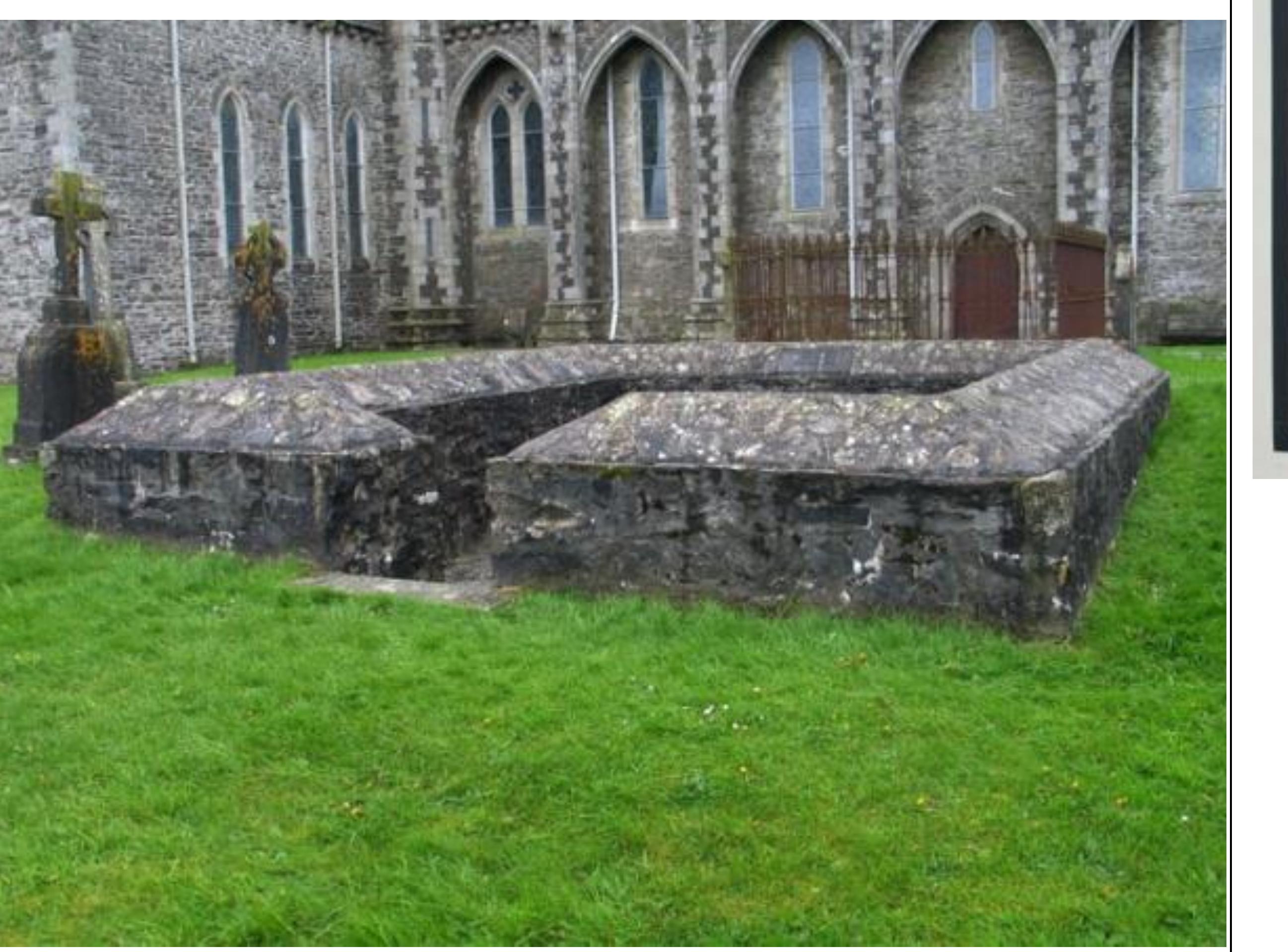 Enclosure in GriffinrathEnclosure · 376 yd
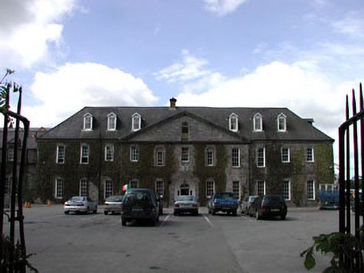 Celbridge Collegiate Schoolcharter school · 1406 yd
 CastleCastle, tower house · 1567 yd
 Griffin RathFairy fort / earthen ringfort · 1641 yd
 Tea Lane Graveyardmausoleum · 1.1 mi
 Oriental planeOriental plane · 1.3 mi
 John McLaughlinMemorial · 1.3 mi
 Arthur GuinessMemorial · 1.4 mi
 Common LimeCommon Lime · 1.4 mi
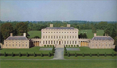 Castletown HouseHeritage attraction · 1.8 mi
 Berkeley Costume and Toy CollectionMuseum · 1.8 mi
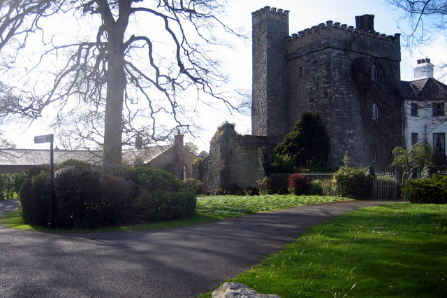 Barberstown CastleCastle, tower house · 2.1 mi