
What is recorded here
In open, gently undulating, mixed tillage and pasture with a second rath (KD011-008----) c. 60m to the N. An oval area (int. diams. 34m N-S; 30m E-W) is defined by an overgrown, inner earthen bank (Wth 2m; int. H 0.5m; ext. H 1.5m), a fosse (Wth 5m) and a second, partially overgrown, outer earthen bank (Wth 3m; int. H 1.5m; ext. H 1.1m). There is a causewayed entrance (Wth 3.5m) at NW, and the interior rises gently towards the SE. Visible with overgrown enclosing elements on a recent aerial photograph (OSi Orthophoto 2005).
Compiled by: Gearóid Conroy
Date of upload: 10 June 2011
A local fairy fort (ringfort/rath); wider significance not recorded.
The monument record does not grant public access. Check the route and ask the landowner before entering private land.
- What survives
- Recorded monument
Places near here
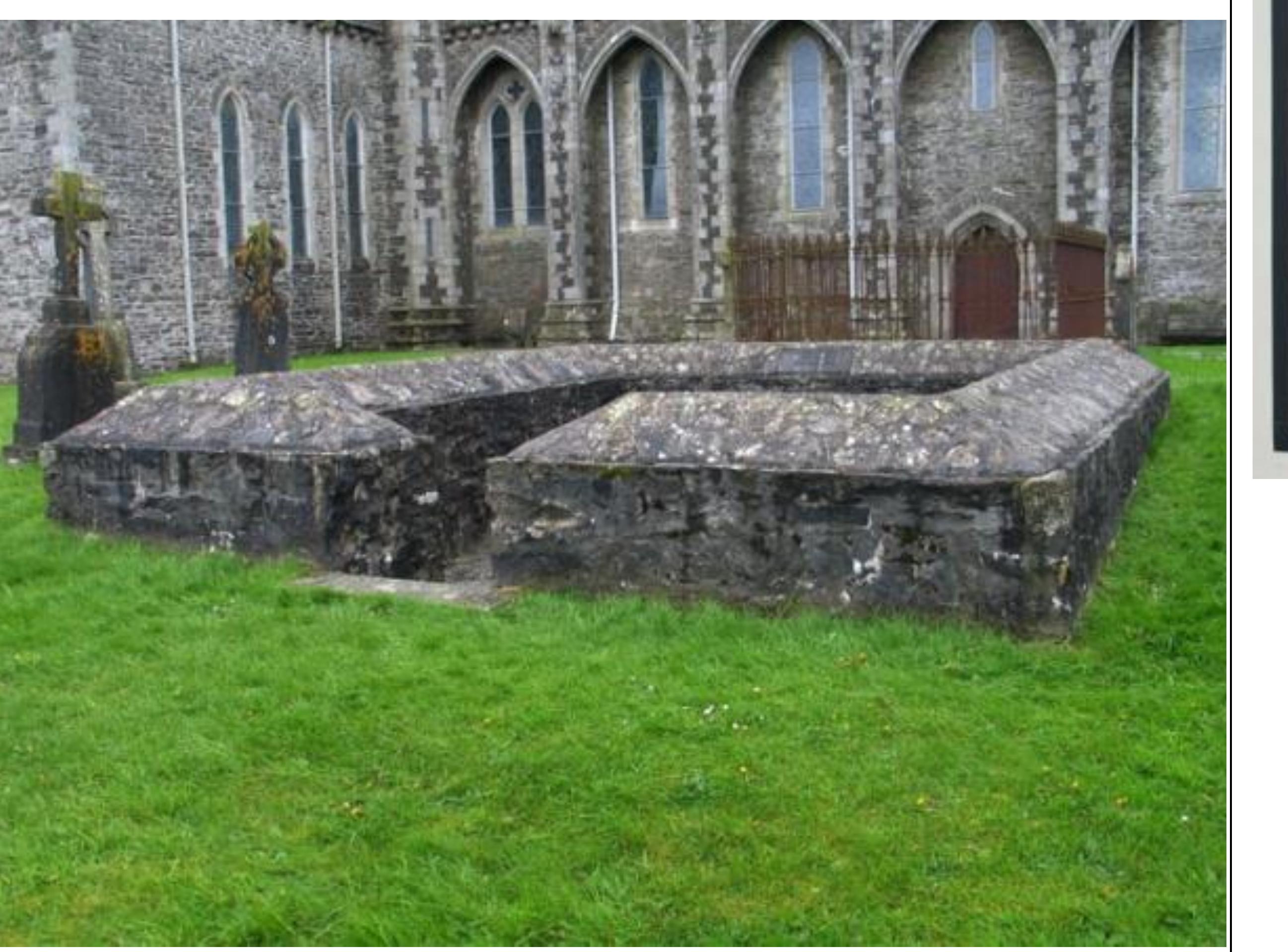 Enclosure in GriffinrathEnclosure · 1394 yd
 Andrew FayMemorial · 1480 yd
 Joseph McCormackMemorial · 1649 yd
 IndicatedEnclosure · 1658 yd
 Conolly's FollyHeritage attraction · 1.1 mi
 Church (in Ruins)Church · 1.5 mi
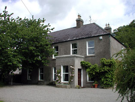 Windgates Househouse · 1.5 mi
 The OrchardWood · 1.8 mi
 National Science MuseumMuseum · 1.8 mi
 European YewEuropean Yew · 1.9 mi
 CastleCastle, unclassified · 2.4 mi
 Ecclesiastical enclosure in Kilmacredock UpperEcclesiastical enclosure · 1.5 mi
Other information
Photo: Credit not shown in the picture search · Rights wording not checked; contact us if this picture should be removed