What is recorded here
Visible on a series of aerial photographs taken in 1963 (CUCAP AHK 11), 1969 (CUCAP AYR 52) and 1970 (CUCAP BDU 45). An inner circular area (est. diam. c. 30m) partially encloses a later medieval parish church (KD011-002003-), and is defined by an arc of low scarp (H 0.4-0.6m) visible at ground level NW-NNE, and which is in turn enclosed by a second, much larger enclosure. This outer, sub-circular enclosure (diams. c. 112m N-S; c. 100m E-W) is defined by a broad, shallow fosse (av. Wth 12.4m; av. D 0.5m) ESE-SW, and elsewhere by a low scarp (H 0.3-1m), except from NW-NNW and from NE-ENE where there is no obvious visible surface trace of an enclosing element. The site may have originally been approached via a trackway (KD001-002002-) at the W.
Visible on a series of aerial photographs taken in 1963 (CUCAP AHK 11), 1969 (CUCAP AYR 52) and 1970 (CUCAP BDU 45). An inner circular area (est. diam. c. 30m) partially encloses a later medieval parish church (KD011-002003-), and is defined by an arc of low scarp (H 0.4-0.6m) visible at ground level NW-NNE, and which is in turn enclosed by a second, much larger enclosure. This outer, sub-circular enclosure…
From the National Monuments Service (Archaeological Survey of Ireland) record KD011-002001
The monument record does not grant public access. Check the route and ask the landowner before entering private land.
- What survives
- Recorded monument
Places near here
Enclosure in CastletownEnclosure · 733 yd CastletownDemesne walls/gates/railings · 1007 ydIndicatedFairy fort / earthen ringfort · 1223 ydDeey Bridge and 9th LockBridge · 1405 ydConolly's FollyHeritage attraction · 1652 ydCastletown HouseHeritage attraction · 1.1 miCastleCastle, unclassified · 1.1 miNatalie MurrayMemorial · 1.2 miLeixlip Spa - SpringSpring · 1.4 miEuropean Yew1.5 miCommon Lime1.5 miLeixlip CastleCastle · 2.0 mi
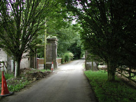 CastletownDemesne walls/gates/railings · 1007 ydIndicatedFairy fort / earthen ringfort · 1223 yd
 Deey Bridge and 9th LockBridge · 1405 yd
 Conolly's FollyHeritage attraction · 1652 yd
 Castletown HouseHeritage attraction · 1.1 miCastleCastle, unclassified · 1.1 miNatalie MurrayMemorial · 1.2 mi
 Leixlip Spa - SpringSpring · 1.4 mi
 European Yew1.5 mi
 Common Lime1.5 mi
 Leixlip CastleCastle · 2.0 mi
Pictures: National Inventory of Architectural Heritage; Irishshagua, Wikimedia Commons · CC BY-SA 4.0; Ilja Klutman from Ballinakill, Ireland, Wikimedia Commons · CC BY-SA 2.0; DiggingSpace, Wikimedia Commons · CC BY-SA 4.0; JP, Geograph · CC BY-SA 2.0; Sitomon, Wikimedia Commons · CC BY-SA 2.0; Alvesgaspar, Wikimedia Commons · CC BY-SA 3.0; Leimanbhradain, Wikimedia Commons · CC BY-SA 4.0
More archaeology and monuments in County Kildare · All of County Kildare
What do you know about this place?