What is recorded here
Found during archaeological monitoring of topsoil-stripping on the Celbridge Interchange in 2001. Subsequent archaeological excavation (Licence no. 01E0669) uncovered the remains of a ring-ditch (KD011-042----) within an associated enclosure (KD011-042002-), and a later kiln (KD011-042001-). Three ditches enclosed an area c. 35m east-west by c. 25m. The largest ditch ran north-south before curving and turning west. It followed and respected the curve of the ring-ditch at this point, suggesting the two were contemporary. As it turned from the ring-ditch it became more linear again. It had a total length of c. 35m, was 2m wide and 1.3m deep. Its northern terminus was not established as it went out under the road-take. It contained large amounts of animal bone with a high percentage of animal skulls. At its western end it was met by another ditch, also running east-west. This was 1-2m wide and 0.5-0.9m deep and ran west for 24m before terminating 1m short of a third ditch. Contained within the fill of this ditch was the entire skeleton of a small horse or pony. The third ditch ran north-south for 28m and was c. 1.5m wide and 0.45m deep. Also contained within this complex were a series of small pits and burnt hearth areas. Some of these contained cremated animal bone, but there was no evidence for any human bone. As with the ring-ditch and ditches, these are probably contemporary and Late Bronze Age in date. (www.excavations.ie)
Compiled by: Gearóid Conroy
Date of upload: 10 June 2011
Found during archaeological monitoring of topsoil-stripping on the Celbridge Interchange in 2001. Subsequent archaeological excavation (Licence no. 01E0669) uncovered the remains of a ring-ditch (KD011-042----) within an associated enclosure (KD011-042002-), and a later kiln (KD011-042001-). Three ditches enclosed an area c. 35m east-west by c. 25m. The largest ditch ran north-south before curving and turning…
From the National Monuments Service (Archaeological Survey of Ireland) record KD011-042002
The monument record does not grant public access. Check the route and ask the landowner before entering private land.
- What survives
- Recorded monument
Places near here
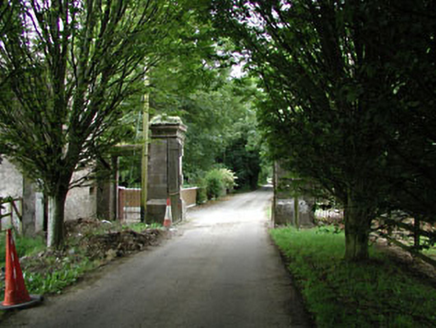 CastletownDemesne walls/gates/railings · 695 ydEcclesiastical enclosure in Kilmacredock UpperEcclesiastical enclosure · 733 yd
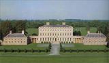 Castletown HouseHeritage attraction · 1230 ydCastleCastle, unclassified · 1337 yd
 Wonderful BarnFolly · 1696 ydThe Wonderful BarnHeritage attraction · 1705 ydCelbridge Union Workhouse, site ofArchaeological place · 1.1 miNatalie MurrayMemorial · 1.2 mi
 Common Lime1.2 mi
 Leixlip Spa - SpringSpring · 1.4 mi
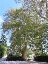 Oriental plane1.6 mi
 Leixlip CastleCastle · 1.8 mi
Pictures: National Inventory of Architectural Heritage; DiggingSpace, Wikimedia Commons · CC BY-SA 4.0; Edge977, Wikimedia Commons · CC BY-SA 3.0; Alvesgaspar, Wikimedia Commons · CC BY-SA 3.0; JP, Geograph · CC BY-SA 2.0; Superchilum, Wikimedia Commons · CC BY-SA 4.0; Leimanbhradain, Wikimedia Commons · CC BY-SA 4.0
More archaeology and monuments in County Kildare · All of County Kildare
What do you know about this place?