
What is recorded here
Castle is an unclassified ruin in Laraghbryan East, County Kildare, sitting beside a medieval church and graveyard. Taylor’s 1783 map marked it as a castle residence, yet later surveys dropped the name entirely. Loose dressed stones and faint earthworks still hint at a forgotten building, perhaps a home, guard post or private seat now swallowed by pasture.
On level, improved pasture, c. 130m N of a medieval church (KD005-009002-) and graveyard (KD005-009003-), with an enclosure site (KD005-021----) c. 200m to the E. Indicated as 'Ca. Rs.' (Castle Residence) on Taylor's 1783 map of County Kildare, but not recorded on the 1st (1838) or current (1939) eds. of the OS 6-inch map. In 1985, some loose dressed stones, a few with mortar attached, (the result of recent dumping according to the landowner), were noted together with some low linear earthworks running N-S across the field and visible on a 1986 aerial photograph (CUCAP APE 8) (SMR file). There is no longer any visible surface trace of these features. However, traces (noted in 1985) of the fosse of a possible enclosure (KD005-021----) do survive.
Compiled by: Gearóid Conroy
Date of upload: 10 June 2011
The monument record does not grant public access. Check the route and ask the landowner before entering private land.
- What survives
- Recorded monument
Places near here
 Ecclesiastical site in Laraghbryan EastEcclesiastical site · 89 yd
 Ecclesiastical enclosure in Laraghbryan EastEcclesiastical enclosure · 200 yd
 Jackson's Bridge and 14th Lockbridge · 543 yd
 Oscoil Na hÉirean Má NuadMemorial · 903 yd
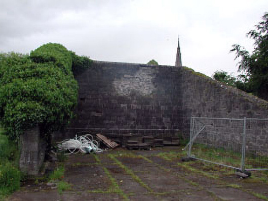 Saint Patrick's Collegehandball alley · 911 yd
 NUI MaynoothMemorial · 937 yd
 Maynooth University South CampusHeritage attraction · 1034 yd
 Library GardenHeritage attraction · 1075 yd
 The OrchardWood · 1274 yd
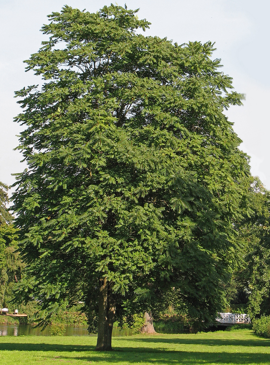 Tree of HeavenTree of Heaven · 1374 yd
 Enclosure in Laraghbryan EastEnclosure · 233 yd
 Enclosure in MaynoothEnclosure · 784 yd
Other information
Photo: Credit not shown in the picture search · Rights wording not checked; contact us if this picture should be removed