
What is recorded here
Three-arch cut-stone road bridge over canal, railway line and stream, dated 1793, with ashlar voussoirs, cut-stone date stone plaque, and single-arch pedestrian bridge to north over stream. Coursed cut-stone walls. Cut-stone date stone/plaque. Cut-stone coping to parapet walls. Three segmental arches of varying form and height. Ashlar voussoirs. Squared rubble stone soffits with traces of render over. Single round arch to north. Cut-stone voussoirs. Squared rubble stone soffits with traces of render over. Sited spanning Royal Canal to north, Midland and Great Western Railway line to centre, and stream to south with pedestrian bridge to north providing access to tow path. Grass banks to canal, to railway line and to stream.Canal lock, c.1795, to north with cut-stone retaining walls having timber lock gates over with integrated pedestrian bridge and possibly retaining early mechanisms.
Jackson’s Bridge is a fine cut-stone bridge that is somewhat unique, spanning the Royal Canal, the Midland and Great Western Railway line and a stream – the bridge is one of a number of bridges on the sections of the Royal Canal and Midland and Great Western Railway line that pass through County Kildare and as such it is of considerable social and historic significance, representing a component of the canal and railway network development in Ireland in the late eighteenth and mid nineteenth centuries, which encouraged the commercialisation and/or industrialisation of the country. The construction of the bridge attests to the high quality of stone masonry traditionally practised in the locality, and retains fine, crisp joints. The construction of the arches that have retained their original shape is of technical or engineering merit. Also of technical interest is the attendant lock to north, which possibly retains early mechanisms.
This does not grant access. Most recorded buildings are privately owned; view them only from public ground unless the owner allows entry.
Places near here
 Enclosure in Laraghbryan EastEnclosure · 436 yd
 Ecclesiastical site in Laraghbryan EastEcclesiastical site · 537 yd
 CastleCastle, unclassified · 543 yd
 Oscoil Na hÉirean Má NuadMemorial · 1425 yd
 NUI MaynoothMemorial · 1459 yd
 Maynooth University South CampusHeritage attraction · 1495 yd
 Library GardenHeritage attraction · 1581 yd
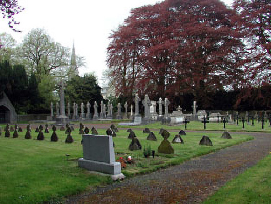 Saint Patrick's Collegegraveyard/cemetery · 1619 yd
 The OrchardWood · 1715 yd
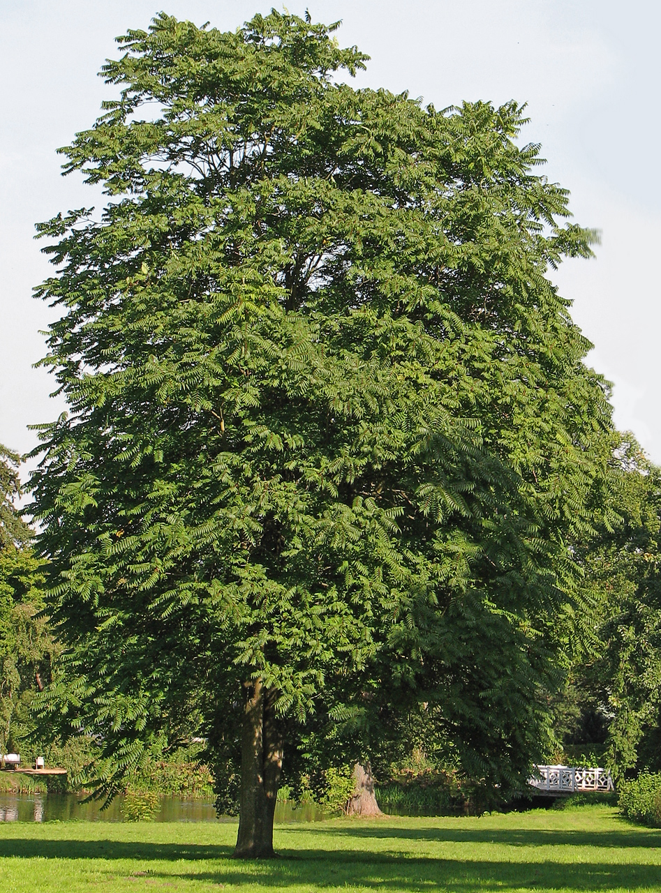 Tree of HeavenTree of Heaven · 1.1 mi
 Bond Bridgebridge · 1.1 mi
 Moygaddy CastleCastle, tower house · 1.9 mi
Other information
Photo: Scaramanga731 · CC BY-SA 4.0