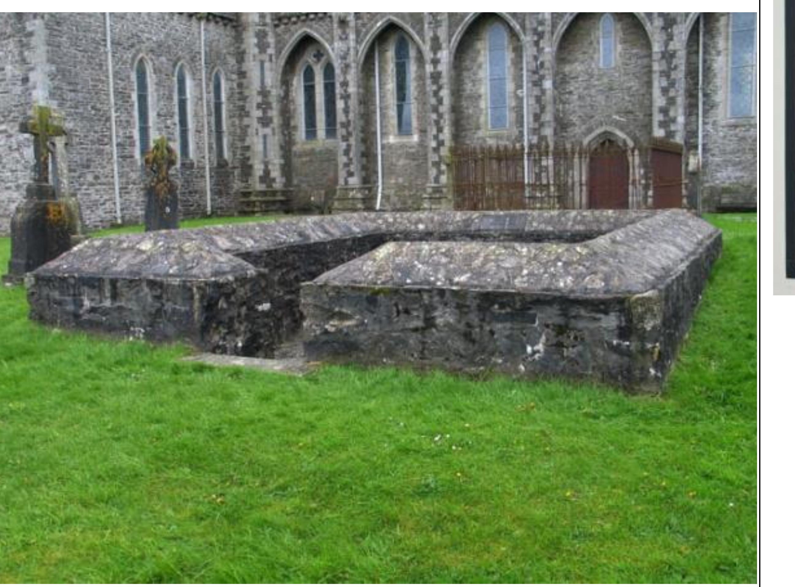
What is recorded here
Cropmark of roughly circular-shaped enclosure (approx. diam. 48m) with possible entrance gap at SSE and annexe to NW visible on Digital Globe aerial photograph.
See attached image of Google Earth photograph taken 28/06/2018 which shows cropmark of the enclosure based on information supplied by Colin Flynn
Compiled by: Caimin O'Brien based on details kindly provided by Colin Flynn
Date of upload: 01 March 2019
The monument record does not grant public access. Check the route and ask the landowner before entering private land.
- What survives
- Recorded monument
Places near here
 Griffin RathFairy fort / earthen ringfort · 1394 yd
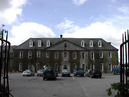 Celbridge Collegiate Schoolcharter school · 1484 yd
 IndicatedEcclesiastical enclosure · 1730 yd
 Tea Lane Graveyardmausoleum · 1757 yd
 CastleCastle, tower house · 1.1 mi
 Oriental planeOriental plane · 1.2 mi
 John McLaughlinMemorial · 1.2 mi
 Arthur GuinessMemorial · 1.3 mi
 Common LimeCommon Lime · 1.3 mi
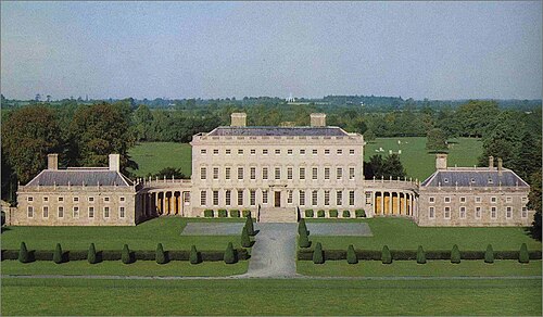 Castletown HouseHeritage attraction · 1.6 mi
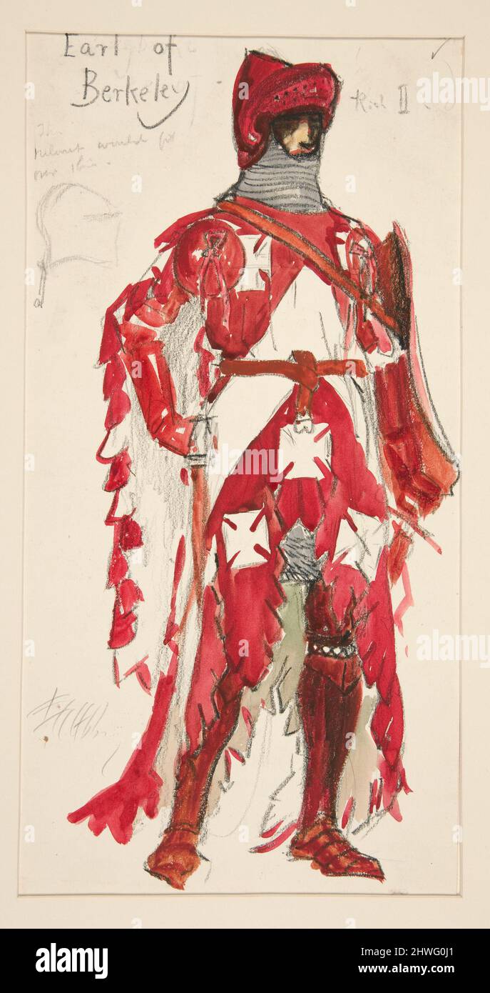 Berkeley Costume and Toy CollectionMuseum · 1.6 mi
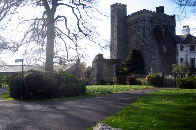 Barberstown CastleCastle, tower house · 2.3 mi
Other information
Photo: Credit not shown in the picture search · Rights wording not checked; contact us if this picture should be removed