What is recorded here
According to Killanin and Duignan (1967, 159), Celbridge (formerly known as Kildrought), ' … takes its name from a monastery founded by St. Mo-chúa of Clondalkin … .' Bradley et al. (1986, Vol. 2, 126) note that practically nothing is known of this foundation. It was probably located on, or near, the site of the later medieval church (KD011-012005-), where the sweeping curve of Church Road around the church and graveyard (WNW-N-ENE: est. diam. c. 120m) may follow the line of an early ecclesiastical enclosure.
According to Killanin and Duignan (1967, 159), Celbridge (formerly known as Kildrought), ' … takes its name from a monastery founded by St. Mo-chúa of Clondalkin … .' Bradley et al. (1986, Vol. 2, 126) note that practically nothing is known of this foundation. It was probably located on, or near, the site of the later medieval church (KD011-012005-), where the sweeping curve of Church Road around the church and…
From the National Monuments Service (Archaeological Survey of Ireland) record KD011-012004
The monument record does not grant public access. Check the route and ask the landowner before entering private land.
- What survives
- Recorded monument
Places near here
 Tea Lane GraveyardMausoleum · 34 yd
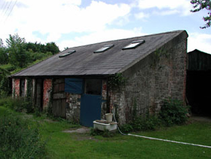 Celbridge LodgeOutbuilding · 213 ydJohn McLaughlinMemorial · 442 yd
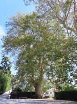 Oriental plane445 ydArthur GuinessMemorial · 719 ydCelbridge Union Workhouse, site ofArchaeological place · 837 yd
 Common Lime841 ydCastleCastle, tower house · 1118 ydEnclosure in SimmonstownEnclosure · 1361 ydCastleCastle, unclassified · 1612 yd
 Castletown HouseHeritage attraction · 1756 ydBerkeley Costume and Toy CollectionMuseum · 1.0 mi
Pictures: Sheila1988, Wikimedia Commons · CC BY-SA 4.0; National Inventory of Architectural Heritage; Superchilum, Wikimedia Commons · CC BY-SA 4.0; Alvesgaspar, Wikimedia Commons · CC BY-SA 3.0; DiggingSpace, Wikimedia Commons · CC BY-SA 4.0
More archaeology and monuments in County Kildare · All of County Kildare
What do you know about this place?