What is recorded here
Visible on a GSI aerial photograph (W 467-6) as the cropmark of a possible circular enclosure. On level pasture in a stud farm c. 100m N of a castle (KD011-016----) and c. 250m NE of a possible earthwork site (KD011-029----). No visible surface traces survive.
From the National Monuments Service (Archaeological Survey of Ireland) record KD011-030
The monument record does not grant public access. Check the route and ask the landowner before entering private land.
- What survives
- Recorded monument
Places near here
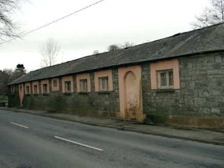 The Abbey National SchoolSchool · 803 yd
 vent pipe826 ydCastleCastle, tower house · 907 yd
 Oriental plane917 ydJohn McLaughlinMemorial · 986 ydEnclosure in LoughlinstownEnclosure · 1071 ydArthur GuinessMemorial · 1246 ydIndicatedEcclesiastical enclosure · 1361 yd
 Common Lime1380 yd
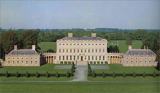 Castletown HouseHeritage attraction · 1.3 mi
 Grand Canal WayWalking route · 1.7 mi
 Reeves CastleCastle · 2.0 mi
Pictures: National Inventory of Architectural Heritage; Superchilum, Wikimedia Commons · CC BY-SA 4.0; Alvesgaspar, Wikimedia Commons · CC BY-SA 3.0; DiggingSpace, Wikimedia Commons · CC BY-SA 4.0; JP, Geograph · CC BY-SA 2.0; Ian Paterson, Geograph · CC BY-SA 2.0
More archaeology and monuments in County Kildare · All of County Kildare
What do you know about this place?