What is recorded here
Griffinrath holds a vanished square chamber, visible only through aerial photography rather than modern ground surveys. The earthwork sat beside an electricity pole within fields marked by post medieval cultivation ridges, suggesting human activity stretched across centuries before ploughing erased its edges. What remains is a shadow in the soil, a reminder that visibility depends on altitude and timing rather than permanent grandeur.
Roughly square-shaped earthwork, possibly a moated site visible in on aerial photograph (LS_AS_67BWN_00076_03) taken by Leo Swan. On this aerial photograph the upstanding monument is situated close to an ESB pole in a field with post medieval ridge and furrow cultivation ridges. Levelled monument not visible today on Bing Maps aerial photograph.
Compiled by: Caimin O'Brien
Date of upload: 3 March 2016
The monument record does not grant public access. Check the route and ask the landowner before entering private land.
- What survives
- Recorded monument
Places near here
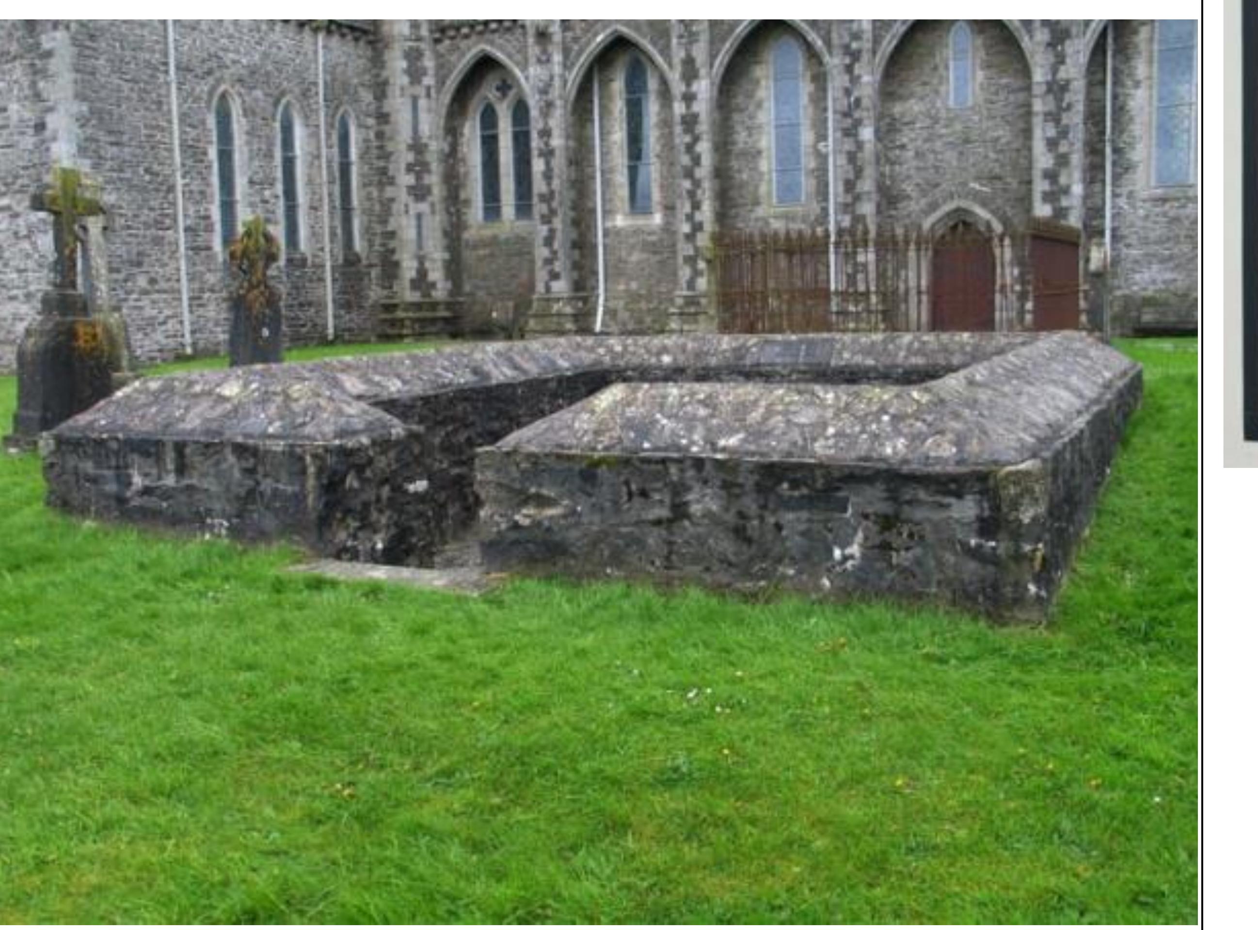 Enclosure in GriffinrathEnclosure · 376 yd
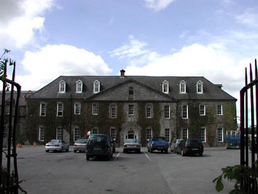 Celbridge Collegiate Schoolcharter school · 1406 yd
 CastleCastle, tower house · 1567 yd
 Griffin RathFairy fort / earthen ringfort · 1641 yd
 Tea Lane Graveyardmausoleum · 1.1 mi
 Oriental planeOriental plane · 1.3 mi
 John McLaughlinMemorial · 1.3 mi
 Arthur GuinessMemorial · 1.4 mi
 Common LimeCommon Lime · 1.4 mi
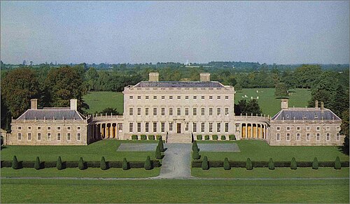 Castletown HouseHeritage attraction · 1.8 mi
 Berkeley Costume and Toy CollectionMuseum · 1.8 mi
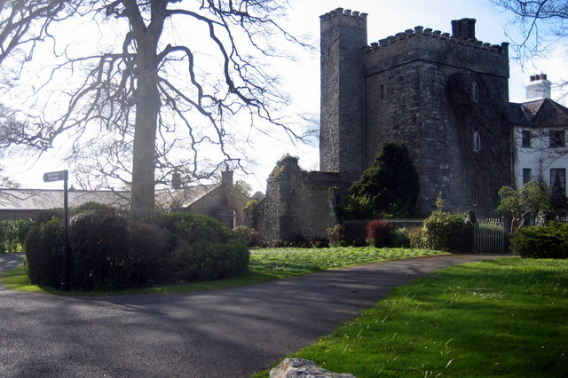 Barberstown CastleCastle, tower house · 2.1 mi