What is recorded here
In flat pastureland on the E bank of a small stream. This well-preserved square moated site (32m N-S; 32m E-W) is defined by two banks and an intervening fosse. The inner bank (Wth 5.7m; int. H 0.4m; ext. H 1.44m) is visible all round; field boundaries overgrown with trees overlie its N and S sides. The water-logged fosse (Wth 2.2m) is extant except from E to SE and the outer bank (Wth 3.3m; int. H 0.8m) survives along the W and N sides.
Compiled by: Galway Archaeological Survey, UCG
Date of upload: 3 December 2019
The monument record does not grant public access. Check the route and ask the landowner before entering private land.
- What survives
- Recorded monument
Places near here
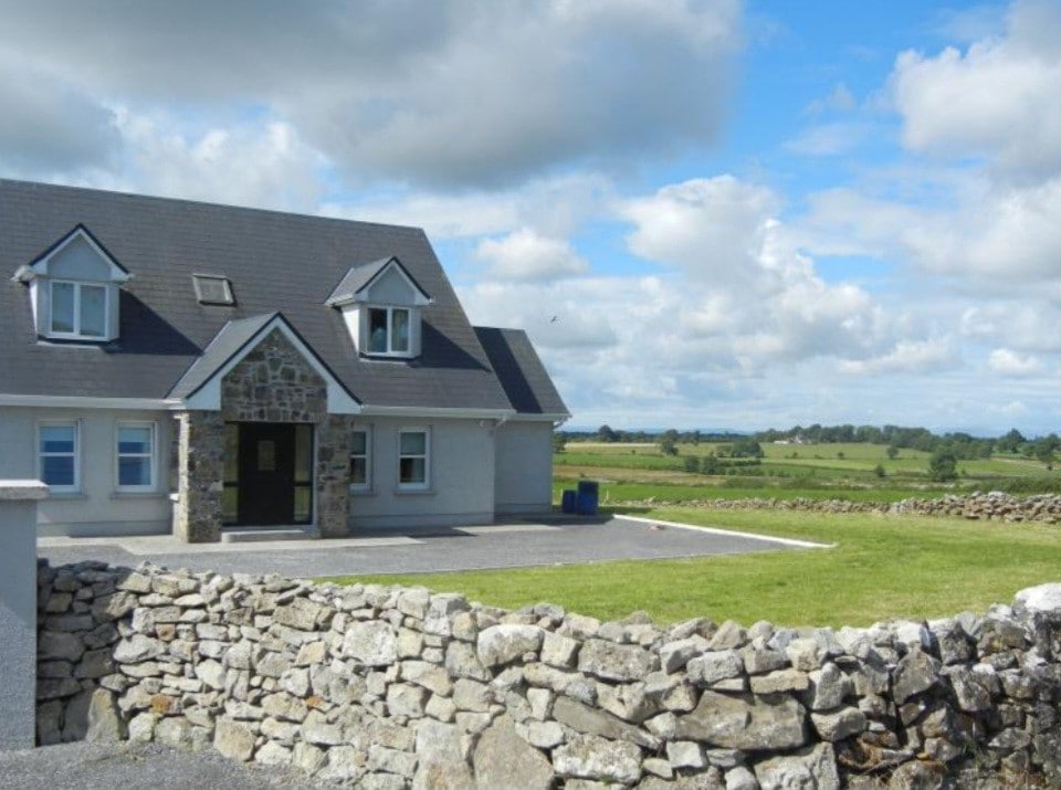 Enclosure in FoxhallEnclosure · 694 yd
 Enclosure in Foxhall LittleEnclosure · 1240 yd
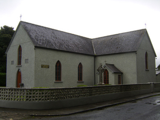 Saint Brendan's Catholic Churchchurch/chapel · 1.0 mi
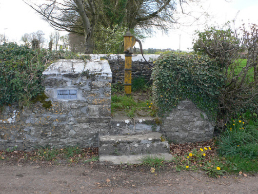 water pumpwater pump · 1.1 mi
 CastleCastle, unclassified · 1.3 mi
 Knockaunnageeragh Castle in ruinsCastle, unclassified · 2.9 mi
 Dartfield Horse MuseumHeritage attraction · 3.8 mi
 Quarryhill WoodWood · 4.8 mi
 Bog WoodForest · 5.4 mi
 Battle of AughrimMajor battlefield · 7.0 mi
 The bloody HollowHeritage attraction · 7.0 mi
 Battle of Aughrim Interpretative CentreMuseum · 7.3 mi