What is recorded here
In reclaimed grassland with stream 75m to E. Cropmark of square-shaped area (approx. dims. 40m N-S x 39m E-W) defined by a scarp and fosse visible on Digital Globe orthophoto taken 2011-13 and earlier OSi orthoimages. Cropmark of earthwork visible on Google Earth orthoimages taken 14/09/2019 and 19/03/2015.
See attached Google Earth orthophotos taken 14/09/2019 and 19/03/2015
Compiled by: Caimin O’Brien
Date of upload: 2 June 2020
The monument record does not grant public access. Check the route and ask the landowner before entering private land.
- What survives
- Recorded monument
Places near here
 Stone GravesCist · 1022 yd
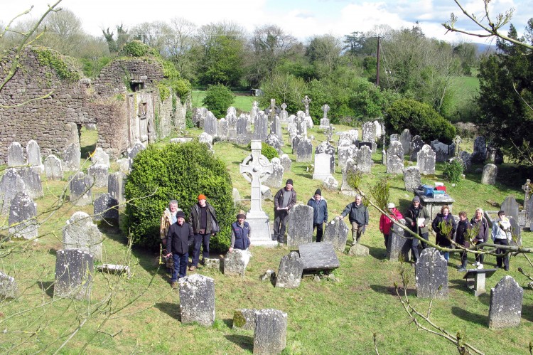 Grave YardGraveyard · 1033 yd
 Ballinvreena LoopVisitor information · 1.3 mi
 Ballynahinch Bridgebridge · 1.3 mi
 Quarry in CushQuarry · 1.4 mi
 Athneasy FortCastle, motte and bailey · 1.8 mi
 Edmund's WellSpring · 2.3 mi
 Ballyhoura tourist informationVisitor information · 2.7 mi
 Treada Na Ríogh (The Moat), hachuredCastle, motte · 2.8 mi
 SlievereaghMountain / peak · 3.0 mi
 Palatine's RockNamed rock · 3.0 mi
 Ballyhoura WayWalking route · 3.3 mi