What is recorded here
Cloghlucas North hides a half-acre castle in plain sight, buried beneath pasture and memory. The land still carries the name Castle Field, yet no wall, gate or tower remains for a hand to touch. What is lost is not small; it is a whole life reduced to shadow and story.
In pasture, on a break on a S-facing slope, just above a glen. A rectangular enclosure (c. 90m E-W; c. 50m N-S) is visible as a cropmark in an aerial photograph (AP Dr. D. D. C. Pochin Mould) taken in 1979. The enclosure is not visible at ground level. The field in which the enclosure is located is one of three fields comprising c. 13 acres [c. 5.26ha] which are collectively known locally as the 'Castle Field'. The exact location of the 'old castle' referred to in 16th and 17th century documents in 'Cloughlucas' is not known (Healy 1988, 321) nor its relationship with this moated site.
The above description is derived from 'The Archaeological Inventory of County Cork. Volume 5' (Dublin: Stationery Office, 2009).
Date of upload: 22 December 2009
The monument record does not grant public access. Check the route and ask the landowner before entering private land.
- What survives
- Recorded monument
Places near here
 Wood Viewhouse · 946 yd
 Beechfield Househouse · 1258 yd
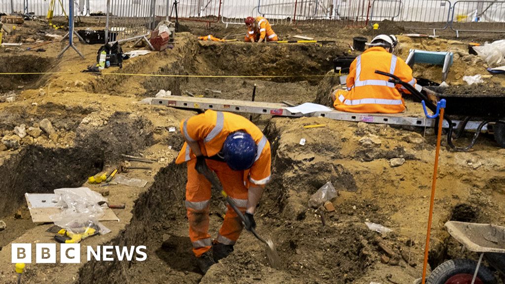 ExcavationExcavation, miscellaneous · 1.2 mi
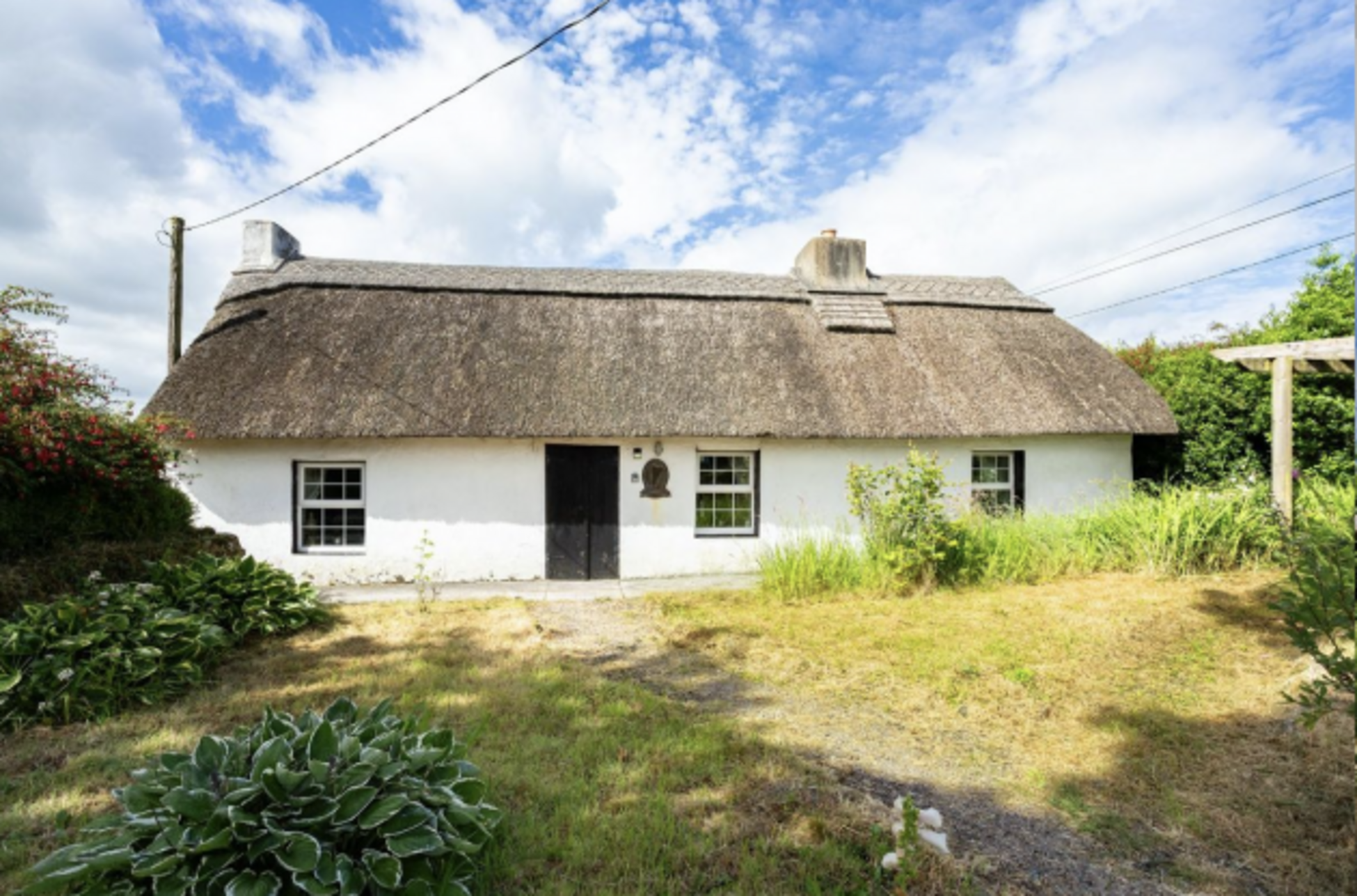 Fulacht fia in Two-Pot-HouseFulacht fia · 1.3 mi
 Castle (Remains of)Castle, unclassified · 2.0 mi
 Caherduggan Castle (Site of)Castle, unclassified · 2.2 mi
 In loving memory of Elvis O'DonoghueMemorial · 2.6 mi
 Mallow River TrailVisitor information · 2.6 mi
 Blackwater WayWalking route · 3.1 mi
 Dromaneen CastleHeritage attraction · 4.3 mi
 Lady's WellSpring · 5.8 mi
 European YewEuropean Yew · 7.8 mi