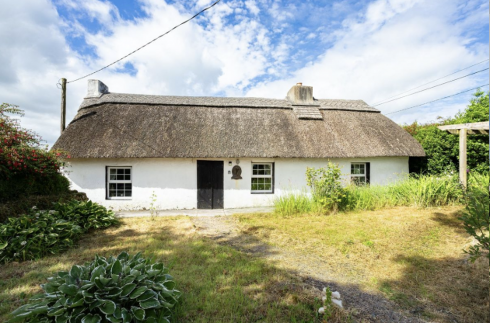
What is recorded here
Recorded by Mary Sleeman, Archaeologist with Cork County Council, on 19th October 2011. She describes it as 'spread of black charcoal-enriched soil with reddened heat-shattered stones- spread c. 13m N-S; c. 13m E-W.'
The monument record does not grant public access. Check the route and ask the landowner before entering private land.
- What survives
- Recorded monument
Places near here
 Hazelwood Housegate lodge · 317 yd
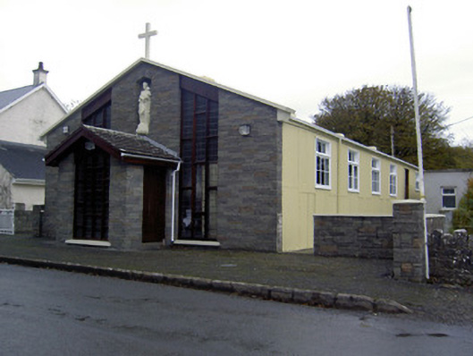 church/chapelchurch/chapel · 466 yd
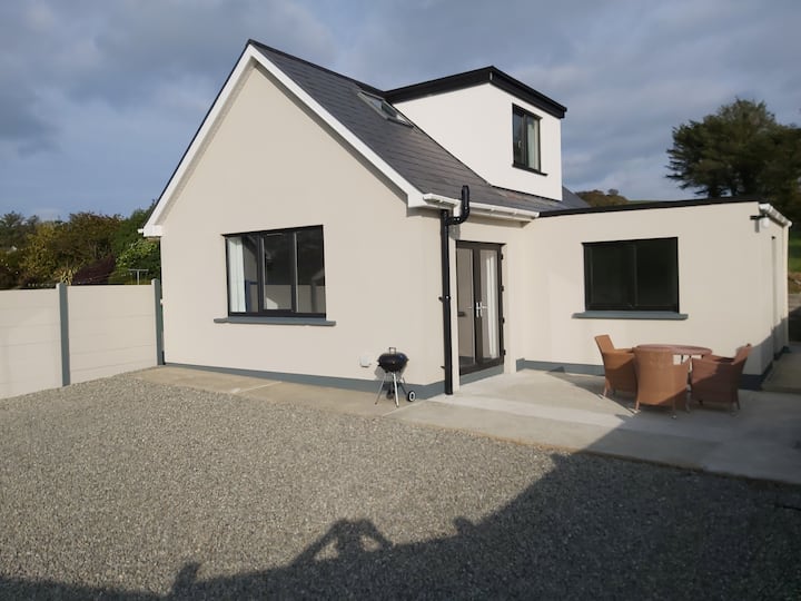 Enclosure in Two-Pot-HouseEnclosure · 774 yd
 Caherduggan Castle (Site of)Castle, unclassified · 1609 yd
 Fulacht fia in Caherduggan SouthFulacht fia · 1682 yd
 Castle (Remains of)Castle, unclassified · 2.4 mi
 In loving memory of Elvis O'DonoghueMemorial · 3.9 mi
 Mallow River TrailVisitor information · 4.0 mi
 Blackwater WayWalking route · 4.5 mi
 Lady's WellSpring · 5.3 mi
 Dromaneen CastleHeritage attraction · 5.5 mi
 Anne's Grove GardensHeritage attraction · 7.6 mi
Other information
Photo: Credit not shown in the picture search · Rights wording not checked; contact us if this picture should be removed