What is recorded here
On a level shelf of ground on a NNE-facing slope. A raised wedge-shaped area (max. dims. 32.8m N-S; 31.5m E-W), widest at its N end, is defined by a scarp (H 0.5-4.2m) with a very wide, flat-bottomed, external fosse (Wth 6-10.7m; D 0.2-1m) along its W, N and E sides. The bank on the S side has been levelled but traces of the fosse are evident. The original entrance is not recognisable.
Compiled by: Patrick F. O'Donovan
Date of upload: 3 May 2012
The monument record does not grant public access. Check the route and ask the landowner before entering private land.
- What survives
- Recorded monument
Places near here
 FortsFairy fort / earthen ringfort · 308 yd
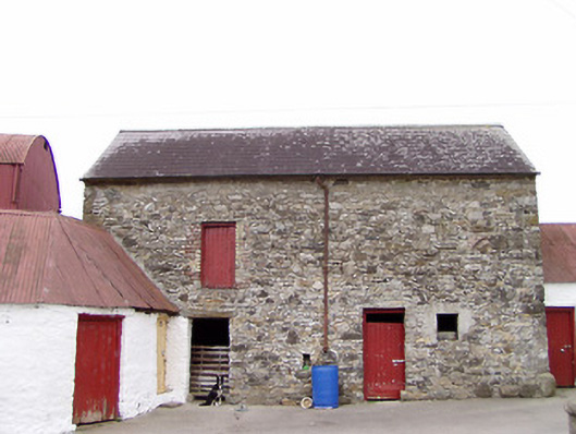 Columbia Houseoutbuilding · 490 yd
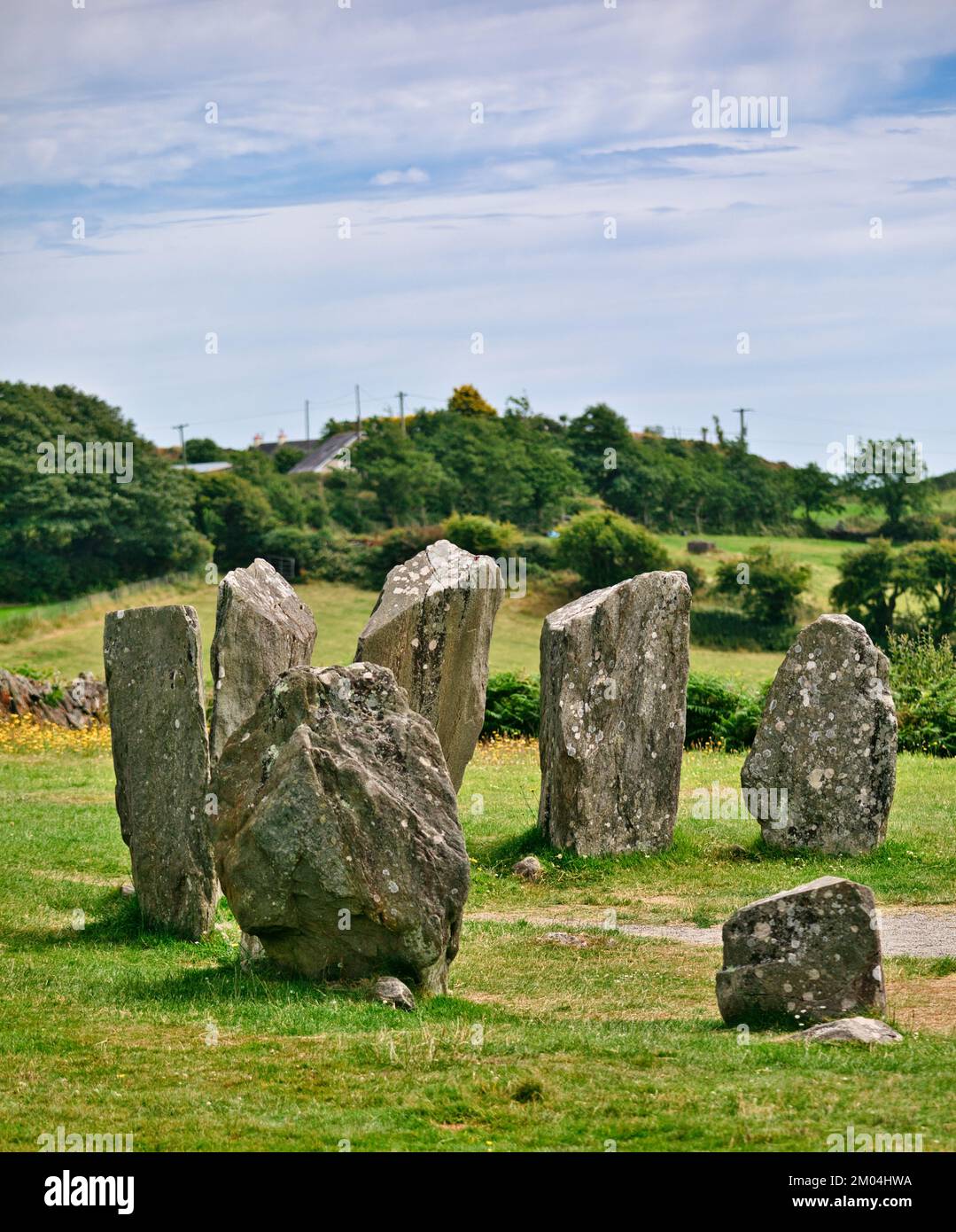 Druids AltarMegalithic tomb · 622 yd
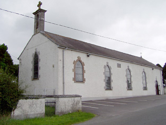 Saint Mary's Catholic Churchchurch/chapel · 1517 yd
 CartronfreeMountain / peak · 1564 yd
 Bakers FortCastle, ringwork · 1.9 mi
 1798 Monumentmonument · 2.1 mi
 Granard MotteMotte-and-bailey castle remains · 2.2 mi
 CastleCastle, unclassified · 2.2 mi
 CarrickabaneMountain / peak · 2.8 mi
 Moynagh Upper ForestForest · 3.1 mi
 Derrycassan WoodsWood · 3.4 mi