What is recorded here
At the bottom of a NE-facing slope and at the edge of the flood-plain of the S-N Scramoge river, c. 100m to the NE. Rectangular grass-covered area (dims 34m NW-SE; 29.6m NE-SW) defined by moats (Wth of top 4.7-7.5m; Wth of base 2.2-4m; int. D 0.2-0.7m; ext. D 0.2-0.6m) on all sides, with an outer bank (Wth 4.7m; H 0.1-0.2m) at SW. The perimeter of the platform at SW is overlain by a NW-SE drystone wall and hedge (max. ext. dims 49.3m NW-SE; 41.5m NE-SW).
Compiled by: Michael Moore
Date of upload: 29th September, 2010
The monument record does not grant public access. Check the route and ask the landowner before entering private land.
- What survives
- Recorded monument
Places near here
 Church (in Ruins)Church · 719 yd
 IndicatedEnclosure, large enclosure · 813 yd
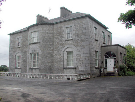 The Gleberectory/glebe/vicarage/curate's house · 1498 yd
 CastleCastle, unclassified · 1751 yd
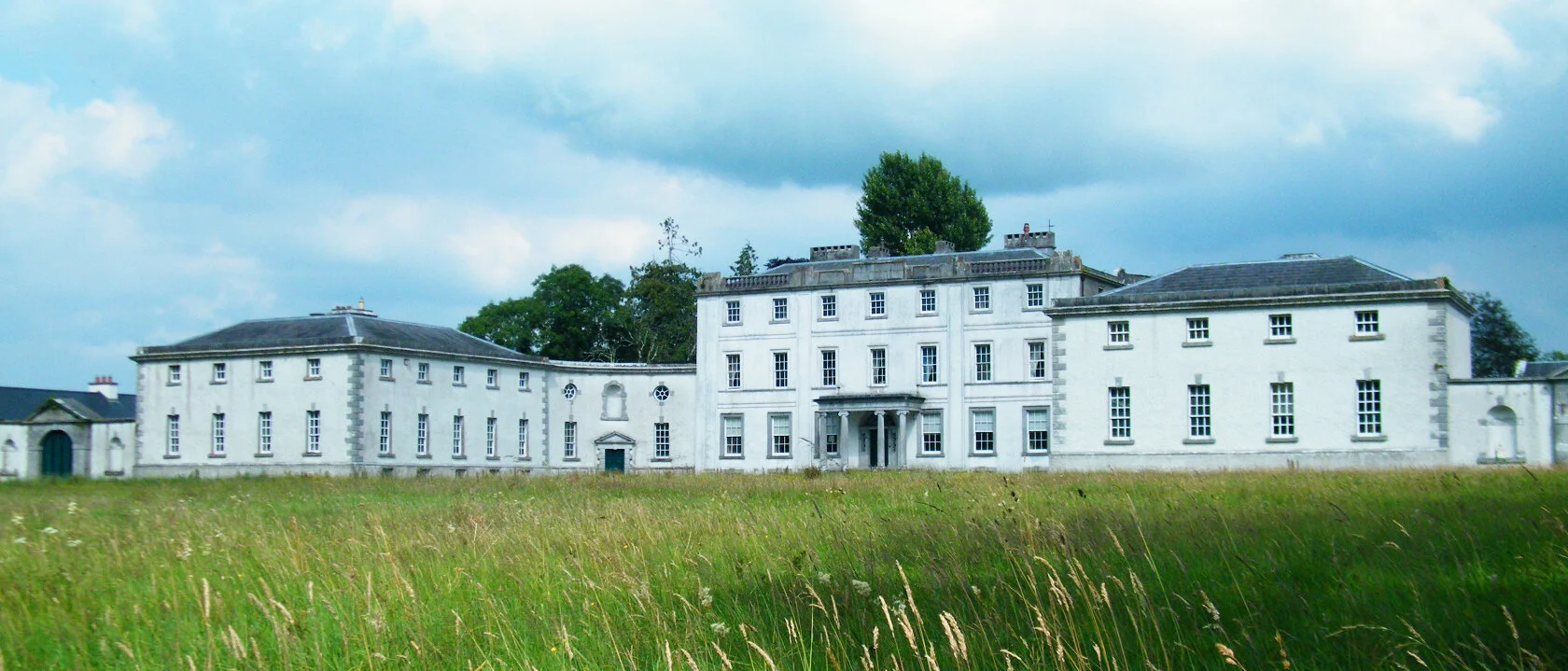 Enclosure in ScramogeEnclosure · 1.1 mi
 Strokestown ParkHeritage attraction · 1.3 mi
 Strokestown House GardensHeritage attraction · 1.4 mi
 Common LimeCommon Lime · 1.4 mi
 Sweet ChestnutSweet Chestnut · 1.7 mi
 Slieve BawnMountain / peak · 2.7 mi
 Leitrim CastleCastle, unclassified · 4.7 mi
 Commons North WalkVisitor information · 7.0 mi