What is recorded here
In low-lying marshy grassland c. 80m to the W of a small stream. This well-preserved almost square moated site (50m E-W; 49m N-S) is defined by two earthen banks and an intervening fosse. The outer bank survives along the W and N sides. There is a causewayed entrance gap (Wth 5m) at S. On inspection in September 1983 the fosse, for the most part, was delimited by trees and bushes and the banks were overgrown from NW to NE. Current OSi aerial imagery indicates that the trees and overgrowth have since been removed.
Compiled by: Galway Archaeological Survey, UCG
Date of upload: 2 December 2019
The monument record does not grant public access. Check the route and ask the landowner before entering private land.
- What survives
- Recorded monument
Places near here
 Site of CastleCastle, unclassified · 1051 yd
 IndicatedFairy fort / earthen ringfort · 1128 yd
 LisnaroughanFairy fort / earthen ringfort · 1220 yd
 Quarry in Brackery NorthQuarry · 1.0 mi
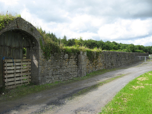 Pallaswalled garden · 1.0 mi
 Pallas CastleCastle, tower house · 1.1 mi
 Bog WoodForest · 1.2 mi
 Oak WoodForest · 1.2 mi
 Church HillMountain / peak · 2.8 mi
 Stonyisland BayBay · 4.0 mi
 Friar's IslandIslet · 4.3 mi
 Abbey IslandIslet · 4.5 mi