
What is recorded here
Detached T-plan three-bay two-storey national school, dated 1845, with pedimented entrance projection to front (west) elevation. Later used as parish hall, currently disused. Hipped slate roof with cut limestone eaves course, and having cut-limestone chimneystack over middle of rear elevation. Snecked dressed limestone walls with squared quoins. Plaque to pediment reads: 'Erected by Lord Riverston AD 1845'. Further plaques over doorways to sides of entrance projection, reading: 'Girls' School' and 'Boys' School'. Round-headed window openings to front of entrance projection and to gable ends, and square-headed elsewhere, with dressed limestone surrounds and slightly raised keystones. Square-headed doorways to porch and to each end of rear elevation, with timber battened doors. All openings currently boarded up. Wrought-iron pedestrian gate set to recent rubble limestone piers and boundary wall.
This well designed and robustly built school was sponsored by Lord Riverston of nearby Pallas House and is typical of the buildings erected within or near large estates in the nineteenth century. The old school, replaced by a new building on the opposite side of the road, represents an important part of the educational history of the locality. The pedimented entrance projection, variety of round and square-headed openings, and the quality of the masonry all enhance its simple form. Typical of schools of this era, the symmetry reflects the segregation of education between boys and girls, indicated by the plaques over the doorways to each half of the building.
This does not grant access. Most recorded buildings are privately owned; view them only from public ground unless the owner allows entry.
Places near here
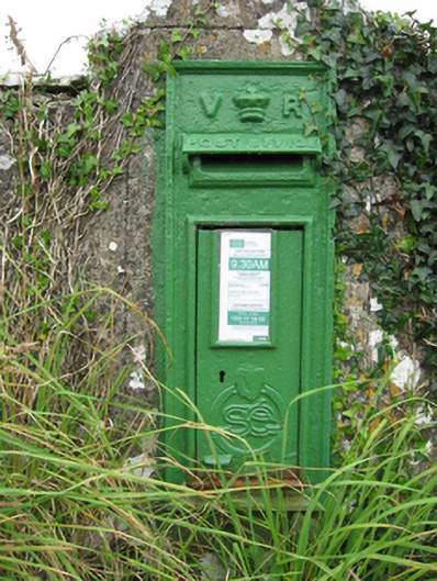 post boxpost box · 40 yd
 Saint Lawrence's Catholic Churchchurch/chapel · 172 yd
 Quarryhill WoodWood · 467 yd
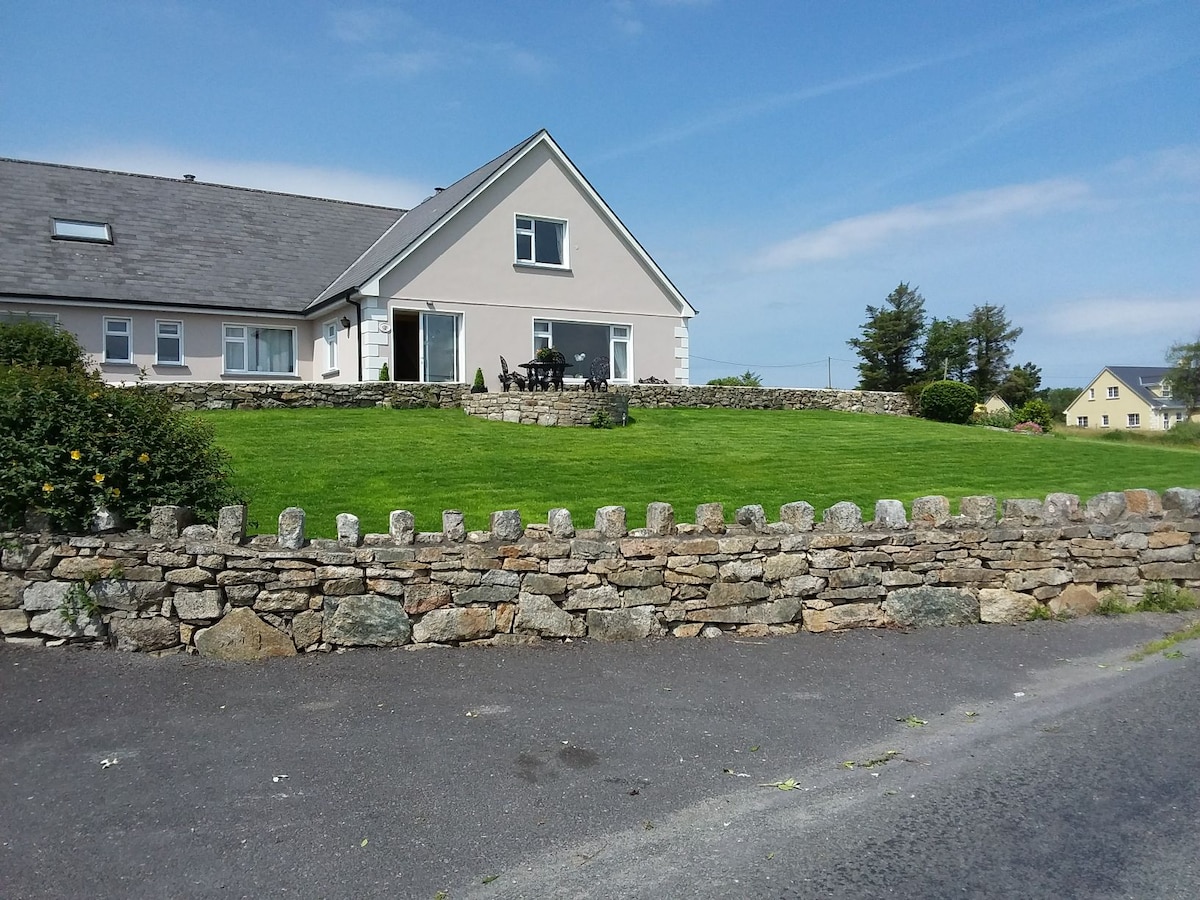 ‘Tobernaglora’Holy well · 588 yd
 Bog WoodForest · 1183 yd
 Pallas CastleCastle, tower house · 1533 yd
 Bile (Site of)Ritual site, holy tree/bush · 1.3 mi
 Site of CastleCastle, unclassified · 1.7 mi
 Church HillMountain / peak · 4.2 mi
 Stonyisland BayBay · 5.2 mi
 Friar's IslandIslet · 5.4 mi
 Abbey IslandIslet · 5.6 mi
Other information
Photo: National Inventory of Architectural Heritage · Website use allowed for educational or private purposes with source credit