What is recorded here
Galway Archaeological Survey, UCG mapped a twenty-nine-metre circular rath on a Pallas hillock, though a later field bank now cuts through its ancient edge. The external fosse still traces the southern curve while the northern scarp has surrendered to grass and time. Fairy fort is the local name, but the shape is human: a boundary drawn in earth, forgotten, then redrawn by ploughs and livestock. What was kept inside has no record, only the pressure of its making preserved in the slope.
On a hillock in undulating grassland. Poorly preserved circular rath (diam. 29m) defined by a scarp and external fosse; the latter is visible from SE through S to W. A field bank cuts through the monument from NE to SE.
Compiled by: Galway Archaeological Survey, UCG
Date of upload: 14 December 2017
The monument record does not grant public access. Check the route and ask the landowner before entering private land.
- What survives
- Recorded monument
Places near here
 Bog WoodForest · 433 yd
 Pallas CastleCastle, tower house · 643 yd
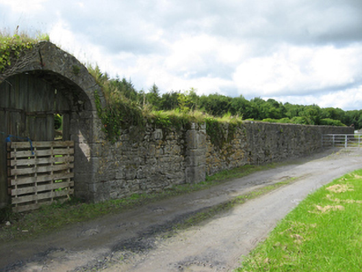 Pallaswalled garden · 720 yd
 ‘Tobernaglora’Holy well · 883 yd
 Oak WoodForest · 943 yd
 Saint Lawrence's Catholic Churchchurch/chapel · 962 yd
 LisnaroughanFairy fort / earthen ringfort · 1.3 mi
 Site of CastleCastle, unclassified · 1.8 mi
 Church HillMountain / peak · 3.8 mi
 Stonyisland BayBay · 4.6 mi
 Friar's IslandIslet · 4.9 mi
 Abbey IslandIslet · 5.0 mi