What is recorded here
In pasture, on a low rise. Sub-rectangular area (overall dims. 70m NW-SE; 48m NE-SW) defined by bank (overall Wth 4.75m; Wth at top 2.1m; int. H 0.3m; ext. H 0.7m) at SSE, WSW and NW-sides. Two breaches in WSW-side. Fosse (overall Wth 4.85m; basal Wth 2m; D 0.7m) at WSW and a field drain flanks NW-side. Interior is generally level. D-shaped area (dims. 80m NNW-SSE; 60m ENE-WSW) adjoining to ENE is defined by a curvilinear bank N-NE and is reduced to scarp (Wth 4.3m; H 0.8m) NE-SE which levels out toward SE-end. Linear scarp forms WSW-side. Short portion of fosse at NE, where a sump (D 0.2-0.6m; L 10m; Wth 3m) has been excavated and is currently water filled. Interior has a natural ridge (long-axis c. N-S) of stone and gravel, which is slightly undulating and has been quarried in antiquity. Oval enclosure (TS061-060001-) within.
Compiled by: Jean Farrelly
Date of upload: 26 August 2011
The monument record does not grant public access. Check the route and ask the landowner before entering private land.
- What survives
- Recorded monument
Places near here
 Enclosure in MeldrumEnclosure · 463 yd
 Meldrum Castle (ruins)Castle · 966 yd
 Brickendown Church (in ruins)Church · 1138 yd
 IndicatedEnclosure · 1196 yd
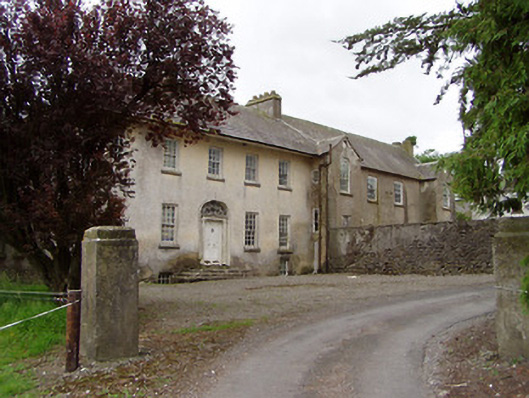 Meldrum Housecountry house · 1282 yd
 CastleCastle, ringwork and bailey · 1.0 mi
 Ballyknock HillMountain / peak · 2.4 mi
 Cashel Folk MusuemMuseum · 3.0 mi
 Black mulberryBlack mulberry · 3.1 mi
 The Rock Of CashelVisitor information · 3.1 mi
 Cormac's ChapelHeritage attraction · 3.1 mi
 Brickendown WellHoly well · 1204 yd