What is recorded here
In improved pasture, on a gentle SSE-facing slope. Rectangular area (dims. 30m N-S; 26m E-W) defined by bank (Wth 9m; int. H 0.85m; ext. H 2.9m) to N (L c. 28m), E (L c. 32m), S (L c. 24m) and W (L 31.5m) which is obscured by dense overgrowth in places. Fosse (Wth 8m; D 0.75m) is best preserved at N, W and S-sides. Entrance (Wth 3.75m) in bank at S-end of E-side. Possible house site defined as a rectangular area (dims. c. 10m N-S; 6m E-W), within NE-quadrant, is enclosed by a scarp (Wth 1.25m; H 0.2m) on S and W-sides, low bank (Wth 3.35; int. H 0.18m; ext. H 0.1m) on E-side and obscured by briars at N. Small area of disturbance on interior of W bank, at N-end.
Compiled by: Jean Farrelly
Date of upload: 26 August 2011
The monument record does not grant public access. Check the route and ask the landowner before entering private land.
- What survives
- Recorded monument
Places near here
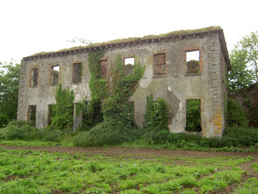 Roesborough Housecountry house · 1070 yd
 Mutton Pie HillCastle, motte · 1247 yd
 Enclosure in BallynilardEnclosure · 1269 yd
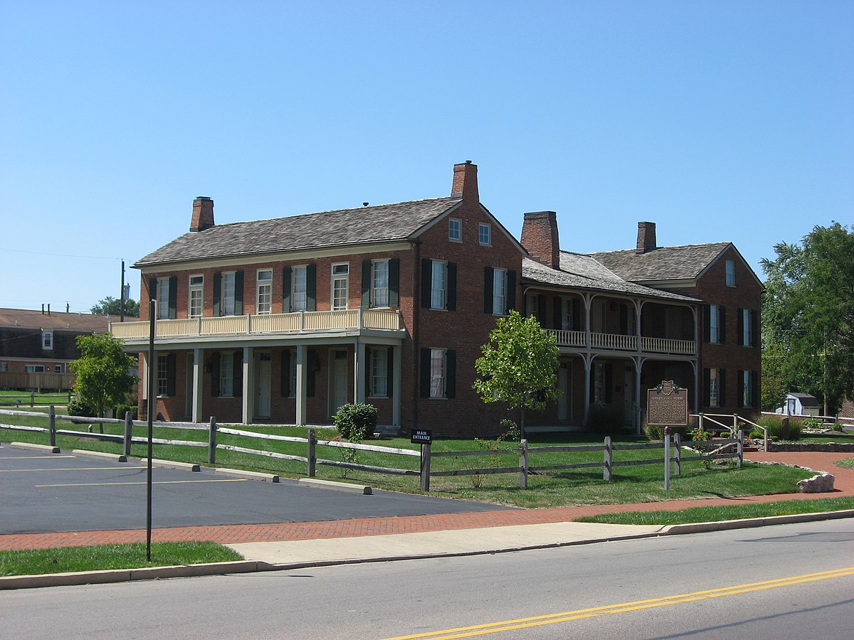 Enclosure in Springfield (tipperary Par.)Enclosure · 1403 yd
 Site of CastleCastle, unclassified · 1496 yd
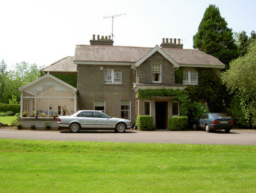 The Valehouse · 1609 yd
 The Maid of ErinMemorial · 1.1 mi
 It's a long way to TippereryHeritage attraction · 1.2 mi
 I.R.A. 3rd. Tipperary Brigade MemorialMemorial · 1.8 mi
 The RockViewpoint · 3.1 mi
 Glen of AherlowViewpoint · 3.5 mi
 Christ the KingViewpoint · 3.5 mi