
What is recorded here
On a low hill in undulating lowland, sloping gently towards the River Ara which flows c. 140m to the N. Prior to the construction of a proposed solar farm, a geophysical survey identified a circular enclosure (Leigh 2016). This enclosure was confirmed by archaeological testing (Quinn 2016). The enclosure (diam. c. 42m) is defined by a fosse (Wth c. 3.2m) with gradually sloping sides (ibid., 26, 41). The geophysical results showed a break in the fosse in the SW quadrant, this was confirmed by excavation and suggests this was the location of the entrance (ibid., 26). The excavation also suggested that there may have been an enclosing bank which had been levelled (ibid., 31).
Compiled by: Jean Farrelly
Date of upload: 6 December 2016
A local fairy fort (ringfort/rath); wider significance not recorded.
The monument record does not grant public access. Check the route and ask the landowner before entering private land.
- What survives
- Recorded monument
Places near here
 Site of CastleCastle, unclassified · 609 yd
 CrossCross, High cross · 681 yd
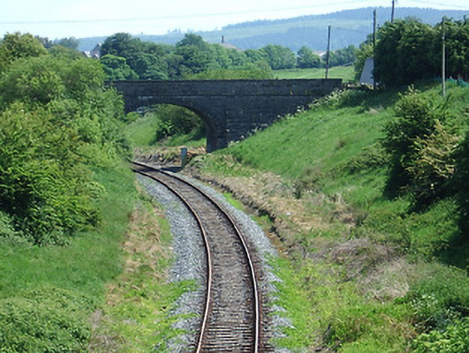 bridgebridge · 1400 yd
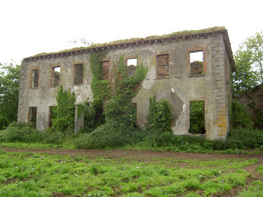 Roesborough Housecountry house · 1551 yd
 Mutton Pie HillCastle, motte · 1.0 mi
 The Maid of ErinMemorial · 1.1 mi
 Enclosure in Moanreagh (clonpet Par.)Enclosure · 1.2 mi
 It's a long way to TippereryHeritage attraction · 1.3 mi
 I.R.A. 3rd. Tipperary Brigade MemorialMemorial · 1.9 mi
 The RockViewpoint · 2.5 mi
 Glen of AherlowViewpoint · 2.8 mi
 Christ the KingViewpoint · 2.9 mi
Other information
Photo: Credit not shown in the picture search · Rights wording not checked; contact us if this picture should be removed