What is recorded here
Water filled the ditch, shadowed the stone bank, and turned a ordinary field into a place where people could be kept out. Inside was a small world large enough for a house, a yard, and the life of the people who belonged there. The moat did not warn with a gate or claim a name; it drew a line the water kept sharp.
Described by Barry (1977, 183) as a moated site. A roughly square area (int. dims. c. 23m NNE-SSW; c. 26m WNW-ESE) enclosed by a stone faced bank (H c. 1.4m) and surrounded by a fosse (Wth c. 4-5m). Outer stone faced bank which has been incorporated into a modern wall system. Stone faced entrance (Wth 2.8m) on the ESE side of inner bank.
Reference:
Barry, T.B. 1977 Medieval moated sites of SE Ireland. British Archaeological Reports, British Series 35. Oxford.
Compiled by: Claire Breen
Date of upload: 19 August 2011
The monument record does not grant public access. Check the route and ask the landowner before entering private land.
- What survives
- Recorded monument
Places near here
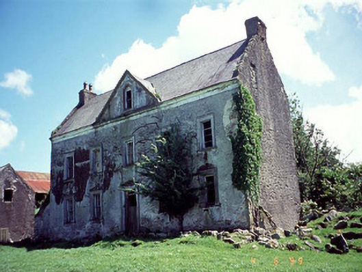 Knockduff Househouse · 844 yd
 Marley Bridgebridge · 1196 yd
 Enclosure in BahanaEnclosure · 1.2 mi
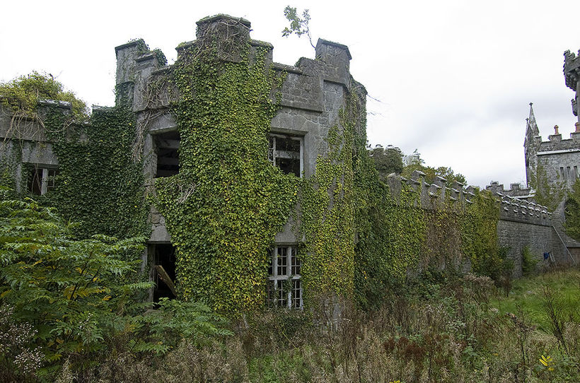 Enclosure in TemplenaboeEnclosure · 1.6 mi
 Bahana WoodForest · 1.8 mi
 White MountainMountain / peak · 2.2 mi
 Graveyard in St. Mullin'sGraveyard · 2.3 mi
 St. Mullins MoatCastle, motte and bailey · 2.3 mi
 CarrigvahanaghMountain / peak · 2.6 mi
 The SpoutSpring · 2.7 mi
 St. Michaels Church (in Ruins), GraveyardChurch · 2.9 mi
 ClashgannyWood · 3.0 mi