
What is recorded here
In pasture, on break in SSE-facing slope. Slightly raised, rectangular area (31.5m E-W; 28.5m N-S) enclosed by earthen bank (int. H 0.75m; ext. H 0.8m); intervening fosse (D 0.9m); outer earthen bank (ext. H 0.8m). Inner bank noticeably higher at SE corner. Intervening fosse U-shaped and muddy. Outer bank highest on N and E sides; incorporated into field boundary system on S and W sides. Causewayed entrance (Wth 2 to 3m) to S. Interior surface grass-covered and uneven; L-shaped feature (10m NW-SE; 6m NE-SW) in SW quadrant, formed by earthen bank (H 0.3m); undulations, noted in NE quadrant, form no discernible pattern. Outside enclosure to N, in NW corner of field, are three, linear, earthen banks, parallel and separated by intervening water-filled fosses. According to Grove White (1905-25, vol. 1, 101) 'about 1890 some iron weapons were dug up in it...An old man trap was discovered here some years ago and is still to be seen.'
The above description is derived from the published 'Archaeological Inventory of County Cork. Volume 4: North Cork' (Dublin: Stationery Office, 2000). In certain instances the entries have been revised and updated in the light of recent research.
Date of upload/revision: 14 January 2009
The monument record does not grant public access. Check the route and ask the landowner before entering private land.
- What survives
- Recorded monument
Places near here
 Fulacht fia in BallyhouraFulacht fia · 1024 yd
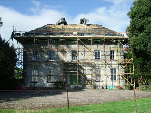 Ballinvonear Housecountry house · 1060 yd
 Ballinvonear Schoolschool · 1415 yd
 Rogan's Rock CovertWood · 1.1 mi
 BarrowBarrow, ring-barrow · 1.3 mi
 Kilcolman CastleCastle · 1.4 mi
 Kilcolman Castle (in Ruins)Castle, tower house · 1.4 mi
 CarrigeenMountain / peak · 1.9 mi
 Carker MountainMountain / peak · 2.8 mi
 Brough WoodWood · 3.0 mi
 David HurleyMemorial · 3.2 mi
 Buttevant Rail DisasterMemorial · 3.4 mi
Other information
Photo: Credit not shown in the picture search · Rights wording not checked; contact us if this picture should be removed