What is recorded here
Situated on a low rise in a level landscape on the E bank of a NNW-SSE section of the Athboy River, with the stream c. 250m to the W. This is a rectangular grass-covered area (dims 21m NE-SW; 20m NW-SE) defined by slight earthen banks (Wth of base 4.2-5.5m; int. H 0.3-0.5m; ext. H 0.7-0.8m) and outer fosses or moats (Wth of top 4-4.5m; Wth of base 0.8-1m; ext. D 0.25-0.4m). An entrance is not identified, but there is an old quarry in the moat towards the W end of the SW side. The visible profile had largely been removed by 2000 (OSAP).
The above description is derived from the published 'Archaeological Inventory of County Meath' (Dublin: Stationery Office, 1987). In certain instances the entries have been revised and updated in the light of recent research.
Compiled by: Michael Moore
Date of revision: 17 April 2019
The monument record does not grant public access. Check the route and ask the landowner before entering private land.
- What survives
- Recorded monument
Places near here
 EnclosureEnclosure, large enclosure · 526 yd
 Font in TlachtaFont · 1.1 mi
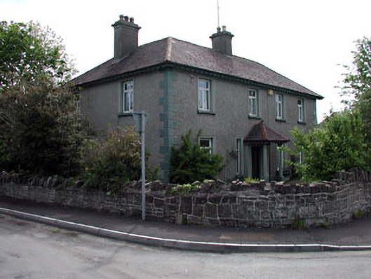 Lynwoodhouse · 1.1 mi
 The Rectoryrectory/glebe/vicarage/curate's house · 1.2 mi
 CastleCastle, unclassified · 1.7 mi
 Fraine CastleCastle, tower house · 1.8 mi
 FraineMountain / peak · 2.0 mi
 JamestownMountain / peak · 3.5 mi
 FarmaphobiaHeritage attraction · 4.1 mi
 Causey FarmHeritage attraction · 4.1 mi
 Laurelberry WoodWood · 4.2 mi
 Girley WoodWood · 4.3 mi