
What is recorded here
Situated in a low-lying landscape with the canalised NNW-SSE Athboy River c. 40m to the E. It is on land that was once part of the demesne of Ballyfallon House, which is c. 400m to the SW. A large circular enclosure (diam. c. 90m NW-SE; c. 85m NE-SW) is visible on Google Earth (17/01/2020) and other aerial images. It was first reported by Jean Charles Caillere.
See the attached views from (_01) Google Earth (17/01/2020) and (_02) Digital Globe (2011-13)
Compiled by: Michael Moore
Date of upload: 9 September 2020
The monument record does not grant public access. Check the route and ask the landowner before entering private land.
- What survives
- Recorded monument
Places near here
 The Rectoryrectory/glebe/vicarage/curate's house · 1.3 mi
 Not idicaetedFairy fort / earthen ringfort · 1.3 mi
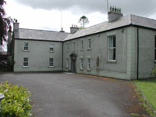 Danes Courtcountry house · 1.4 mi
 Font in TlachtaFont · 1.4 mi
 Fraine CastleCastle, tower house · 1.7 mi
 CastleCastle, unclassified · 1.7 mi
 FraineMountain / peak · 1.9 mi
 JamestownMountain / peak · 3.8 mi
 FarmaphobiaHeritage attraction · 4.3 mi
 Causey FarmHeritage attraction · 4.4 mi
 Laurelberry WoodWood · 4.4 mi
 Girley WoodWood · 4.5 mi
Other information
Photo: Credit not shown in the picture search · Rights wording not checked; contact us if this picture should be removed