What is recorded here
Within a hollow on a NE-facing slope in pasture. A raised subcircular area (36m N-S; 31m E-W) enclosed by a substantial bank of earth and stone (Wth 7m; H 0.75-1.65m) with an external fosse (Wth 7m; D 0.5-1.5m), which is fed by a small stream adjacent to the S. There is evidence of stone-facing on the inner face of the bank. A break (Wth 3m) at NE probably marks the original entrance. The broad stream-fed fosse at this monument and its location in a hollow suggest the possibility that it is a moated site.
Compiled by: Patrick F. O'Donovan
Date of upload: 3 May 2012
The monument record does not grant public access. Check the route and ask the landowner before entering private land.
- What survives
- Recorded monument
Places near here
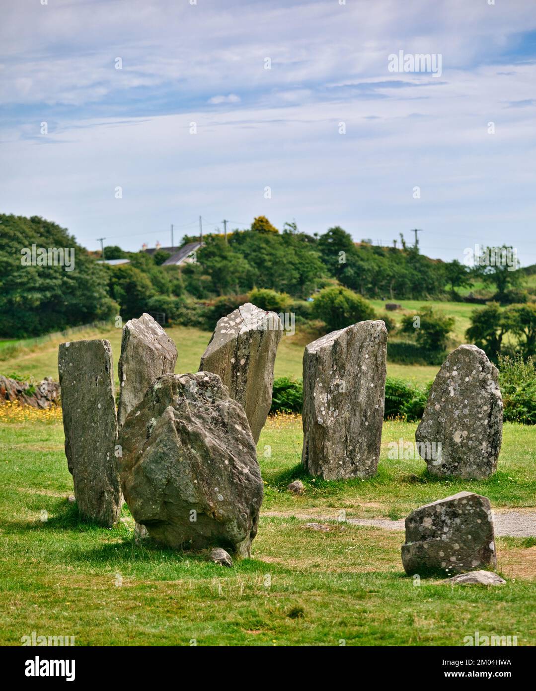 Druids AltarMegalithic tomb · 444 yd
 FortsFairy fort / earthen ringfort · 618 yd
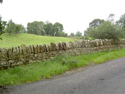 gates/railings/wallsgates/railings/walls · 1041 yd
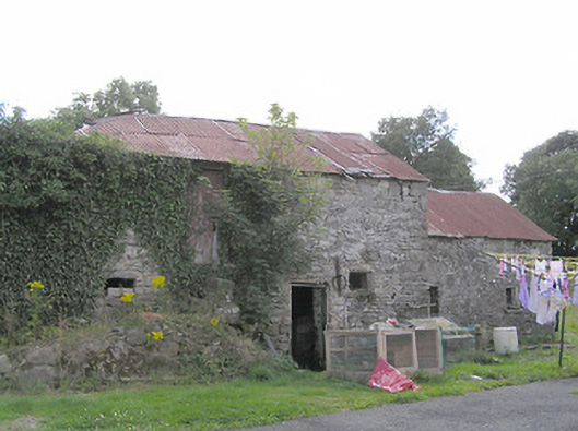 Clooneen Millmill (water) · 1205 yd
 CartronfreeMountain / peak · 1.2 mi
 Bakers FortCastle, ringwork · 1.8 mi
 1798 Monumentmonument · 2.0 mi
 Granard MotteMotte-and-bailey castle remains · 2.0 mi
 CastleCastle, unclassified · 2.0 mi
 ToomeMountain / peak · 2.7 mi
 Derrycassan WoodsWood · 2.9 mi
 Moynagh Upper ForestForest · 3.6 mi