What is recorded here
Situated in a low-lying river valley with the Clodiagh River running N-S c. 100m to the W. Described in the fourteenth century as consisting of a 'stone tower roofed with shingles' (Cal. inq. post mortem, vol. 8, no. 184). The manor of Moyaliff which was controlled by James le Botiller, Earl of Ormond, was described…
Read the whole record
Situated in a low-lying river valley with the Clodiagh River running N-S c. 100m to the W. Described in the fourteenth century as consisting of a 'stone tower roofed with shingles' (Cal. inq. post mortem, vol. 8, no. 184). The manor of Moyaliff which was controlled by James le Botiller, Earl of Ormond, was described in 1338 as consisting of 'no edifices except a stone tower covered with shingles. Of no value because nobody wishes to hold it.' (CIPM, vol. 3, no. 347). A high, steep-sided flat-topped motte (H 8m) the top of which is enclosed by a roughly coursed limestone castle (TN046-006002-). No bailey area visible. Vol. 1 - North Tipperary' compiled by Jean Farrelly and Caimin O'Brien (Dublin: Stationery Office, 2002).
From the National Monuments Service (Archaeological Survey of Ireland) record TN046-006004
Places near here
Photo credits
- National Inventory of Architectural Heritage
- Garry Dickinson, Geograph · CC BY-SA 2.0
- dougf, Wikimedia Commons · CC BY-SA 2.0
- Wanfried-Dublin, Wikimedia Commons · CC BY-SA 4.0
- Dublin Castle RIC, Wikimedia Commons · Public domain
- Hywel Williams, Geograph · Creative Commons Attribution-ShareAlike 2.0
- Colin Park, Geograph · CC BY-SA 2.0
 Moyaliff HouseCountry house · 63 yd
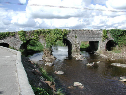 Ballyoughter BridgeBridge · 1101 yd
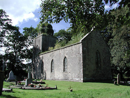 Drumbane Church (Moyaliff)Church/chapel · 1455 yd
 Patrick RyanHouse · 1460 yd
 Mulgrave BridgeBridge · 1565 yd
 Saint Mary's Catholic ChurchChurch/chapel · 1.3 mi
 CastleCastle, motte and bailey · 3.6 mi
 Ballynahow CastleCastle · 3.8 mi
.jpg/250px-KnockcurraghbolanCommons-TN39-009_(4).jpg "Photo: Wanfried-Dublin, Wikimedia Commons · CC BY-SA 4.0") Wedge tomb in Knockcurraghbola CommonsWedge tomb · 6.6 mi
Wedge tomb in Knockcurraghbola CommonsWedge tomb · 6.6 mi Soloheadbeg AmbushAmbush · 13 mi
 Ladys WellHoly well · 26 mi
 SlievereaghMountain / peak · 27 mi
More castles and forts in County Tipperary · All of County Tipperary

What do you know about this place?Tap to add a comment or ask a question