What is recorded here
Situated on a rise between a SSE-NNW stream c. 80m to the W and another SSE-NNW stream c. 160m to the NE. It is depicted as a D-shaped embanked enclosure (ext. diam. c. 40m N-S) truncated by a gravel pit on the E side and described as a ‘Moat’ on the 1836 edition of the OS 6-inch map. It was described (Smith 1894) as a clay bank ’12 feet (c. 3.65m) high’ on top of the gravel ridge, and animal bones and lenses of charcoal were observed in the section close to the top. A bone comb and an oval quartz stone with some markings were recovered at the base of this layer (D c. 0.9m). The comb was a composite double-sided comb with three surviving rivets of Class B (Dunleavy 1988, 353-6) dating from the third to the ninth century AD, and the earthwork was probably a platform rath. No trace of it is visible.
The above description is derived from the published 'Archaeological Inventory of County Meath' (Dublin: Stationery Office, 1987). In certain instances the entries have been revised and updated in the light of recent research.
Compiled by: Michael Moore
Date of revision: 21 August 2019
The monument record does not grant public access. Check the route and ask the landowner before entering private land.
- What survives
- Recorded monument
Places near here
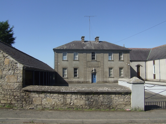 Saint Joseph's National Schoolschool · 123 yd
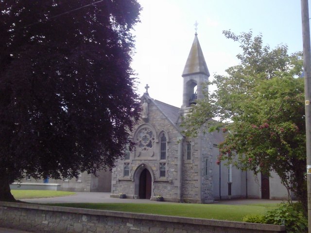 Catholic Church of the Nativity of Our Ladychurch/chapel · 142 yd
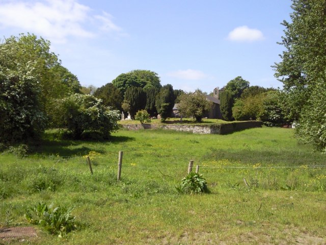 IndicatedGraveyard · 216 yd
 Enclosure in SwainstownEnclosure · 1.0 mi
 Beech & Oak WoodWood · 1.3 mi
 CastleCastle, unclassified · 1.4 mi
 Moore's Hill WoodWood · 1.6 mi
 Dunsany CastleCastle, unclassified · 2.4 mi
 Battle of Tara (Ireland)Major battlefield · 2.4 mi
 Battle of Tara Hillbattle · 2.4 mi
 Saint Patrick'sMemorial · 2.6 mi
 Tara Open StudioGallery · 2.6 mi