
Places near here
Photo credits
- National Inventory of Architectural Heritage
- EecherplazGinkgo06.jpg : Cayambe derivative work: Ginkgotree ( talk ), Wikimedia Commons · CC BY-SA 3.0
- Olivier BEZES, Wikimedia Commons · CC BY 2.5
- Kmcnamee, Wikimedia Commons · CC BY-SA 4.0
- Dieglop, Wikimedia Commons · CC BY-SA 4.0
- Tjp finn, Wikimedia Commons · CC BY-SA 4.0
- Sitomon, Wikimedia Commons · CC BY-SA 2.0
 farmyard complex1.9 mi
Explorer Tom Farmyard complex in Dreminstown County Meath is basically just outbuildings having a massive group hug with the…
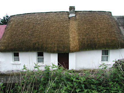 farm house1.9 mi
Explorer Tom Farm house in Dreminstown has a ghost that’s too lazy to haunt it properly, so he just sits in the corner and watches…
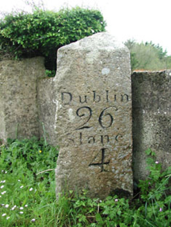 milestone/milepost2.0 mi
Explorer Tom Milestone or milepost in Parsonstown Demesne thinks tourists from Dublin are all talk and no walk, judging by the…
 Ginkgo2.4 mi
Explorer Tom This Ginkgo in County Meath would post photos of its leaves with captions like 'living fossil, no filter needed.' It’s…
 Lebanon Cedar2.4 mi
Explorer Tom This Lebanon Cedar has an ongoing feud with the rain, complaining that it gets in its hair too much. It’s dramatic…
 Rathkenny GAAGAA ground · 2.5 mi
 MonasteryEcclesiastical residence · 3.6 mi
Explorer Tom Monastery in Slanecastle Demesne is no longer visible, which means it’s probably just a bunch of stories about…
 Monastic RuinsChurch · 3.6 mi
Explorer Tom Monastic Ruins at Slanecastle are officially invisible, which is a great excuse for not finding them when you go…
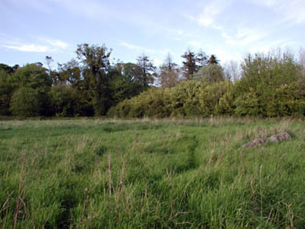 walled garden3.8 mi
Explorer Tom Walled garden in Slanecastle Demesne County Meath is older than the game keeper's house next door, which tells you…
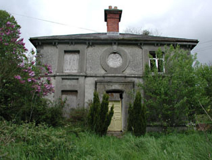 worker's house3.8 mi
Explorer Tom Worker's house in Slanecastle Demesne is prepping for its interview. It’s got stained glass and a slate roof, so it…
 Slane CastleCastle · 4.0 mi
Explorer Tom Slane Castle is secretly proud of the potato it grew in the garden last year, treating it like a royal heir. It holds…
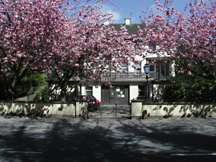 Slane Garda Síochána StationGarda station/constabulary barracks · 4.1 mi
Explorer Tom Slane Garda Síochána Station in Slane, County Meath might be hiding a treasure that is definitely just a biscuit tin in…
More archaeology and monuments in County Meath · All of County Meath

What do you know about this place?Tap to add a comment or ask a question