
What is recorded here
Moat Hill rises five metres above the Offaly fields, a natural ridge later shaped into a castle mound with a possible western bailey. Its steep southern edge still cuts the horizon while the northern and western slopes have softened under centuries of feet and rain. Whatever hands built or claimed that ridge, they chose height and visibility, forcing every traveller to see the mound before seeing the people upon it.
Large flat-topped mound (H at S c. 5.50m, W at top N-S c. 19m) which drops away steeply at S only, degraded at N and W. Appears to be a natural ridge adopted as a motte with a possible bailey (c. 30m E-W, c. 29m N-S) at W side.
Site badly disturbed and no evidence of an enclosing ditch.
The above description is derived from the published 'Archaeological Inventory of County Offaly' (Dublin: Stationery Office, 1997). In certain instances the entries have been revised and updated in the light of recent research.
Date of upload: 23 May 2011
The monument record does not grant public access. Check the route and ask the landowner before entering private land.
- What survives
- Recorded monument
Places near here
 Moat HillMountain / peak · 29 yd
 Gortnatemple GraveyardBurial ground · 851 yd
 Fulacht fia in GarrFulacht fia · 871 yd
 Knockdrin HillMountain / peak · 1.3 mi
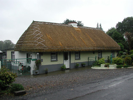 farm housefarm house · 1.4 mi
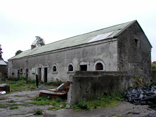 Greenhills Housestables · 1.6 mi
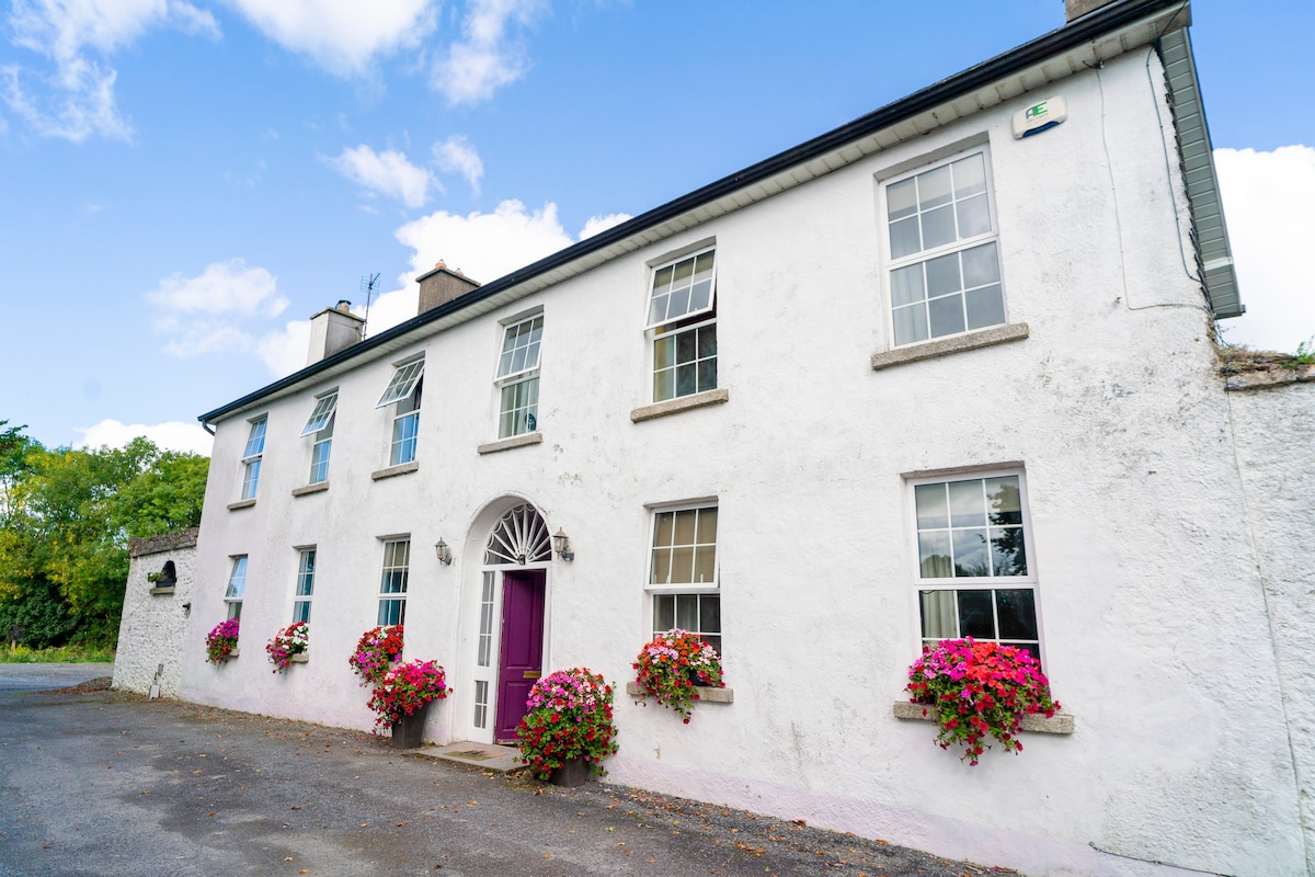 Ballyburly Ho.Castle, unclassified · 2.0 mi
 Bawn in BallyheashillBawn · 2.8 mi
 Holy PlantationForest · 3.3 mi
 Victoria PlantationWood · 3.5 mi
 Croghan HillMountain / peak · 4.3 mi
 Croghan Hill WalkVisitor information · 4.6 mi
Other information
Photo: Credit not shown in the picture search · Rights wording not checked; contact us if this picture should be removed