What is recorded here
Situated towards the top of the W-facing slope of a high hill. A circular embanked enclosure (ext. diam. c. 30m) is depicted here on the 1836 edition of the OS 6-inch map where it is described as a ‘Moat’, and a mound curtailed by property boundaries at N and E is depicted on the 1912 edition of the map. This is a circular defaced mound (diam. c. 15m; H c. 2m) truncated by property boundaries in the village of Crossakeel.
The above description is derived from the published 'Archaeological Inventory of County Meath' (Dublin: Stationery Office, 1987). In certain instances the entries have been revised and updated in the light of recent research.
Compiled by: Michael Moore
Date of revision: 26 February 2019
A circular embanked enclosure, possibly a ringfort, dating to the Early Medieval period. Its significance lies in its representation on early 19th-century maps, indicating long-standing recognition as a notable earthwork.
The monument record does not grant public access. Check the route and ask the landowner before entering private land.
- What survives
- Recorded monument
Places near here
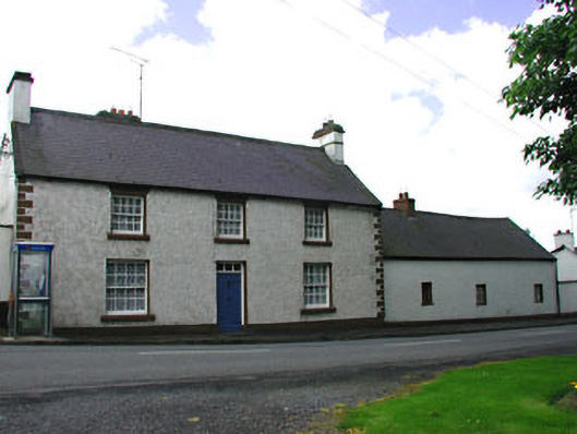 The Old Barrackshouse · 51 yd
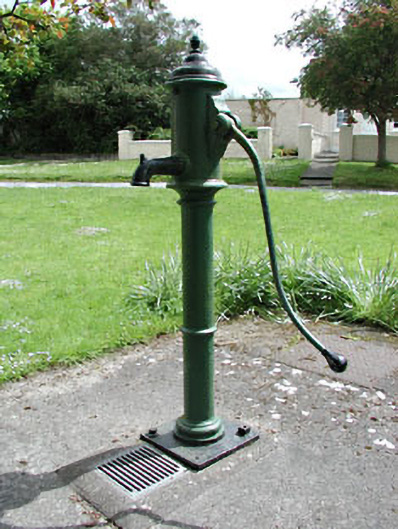 water pumpwater pump · 116 yd
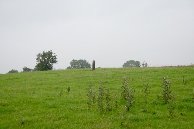 Standing stone in Balnagon UpperStanding stone · 1.8 mi
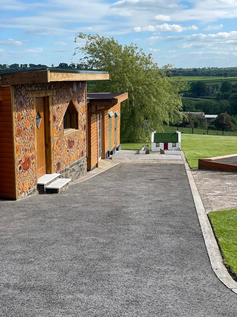 Enclosure in GibbonstownEnclosure · 1.8 mi
 Round TowerCastle, tower house · 1.9 mi
 Sylvan Park WoodsForest · 2.2 mi
 Largan WoodWood · 2.2 mi
 Moat of DiamorCastle, motte and bailey · 2.4 mi
 Oliver Plunkett memorialMemorial · 3.6 mi
 CloncatMountain / peak · 3.7 mi
 Slieve Na CalliaghMountain / peak · 4.2 mi
 Loughcrew Megalithic TombsHeritage attraction · 4.3 mi