
What is recorded here
According to the Annals of Innisfallen Bruis moat was constructed in 1193 AD when the castle was built by the foreigners with the consent of Ua Briain and to injure Desmummu therefrom (Mac Airt 1951 318, 319). In grassland at N end of N-S ridge atop high ground with commanding views in all directions, church (TS066-113001-) and graveyard (TS066-113002-) 160m to S. Impressive large flat-topped conical-shaped mound (H approx. 10m from berm and 20m from external ground; top diam. 21m N-S; 22m E-W; base diam. approx. 40m N-S) with wide flat berm (Wth 16m) halfway up the mound now visible from NE through E to S only elsewhere the side of the motte has been quarried into from S through W to NW. Motte covered in trees and vegetation. On top of the motte there is a small two-storey 18th-century summer house (int. dims. 4.2m NE-SW; 4.8m NW-SE 4.8m; wall T 0.8m) built with uncoursed sandstone rubble with fireplace at ground and first floor level. Some skeletal material evident in mound material in exposed face of mound at S may suggest that the mound was used in the prehistoric times possibly as a burial mound. Natural hillock which has been scarped around the mound halfway up its natural height and then the material has been dumped up on top of the hillock resulting in its present form and the presence of a berm around the motte. No evidence of any bailey around the base of the motte.
Compiled by: Jean Farrelly
Date of upload: 26 August 2011
The Moat, Bruis was built in 1193 AD by foreigners with the consent of Ua Briain, likely during the Anglo-Norman expansion in Ireland. It is remembered for its historical association with conflict involving Desmummu and the broader context of medieval Irish and Norman interactions.
The monument record does not grant public access. Check the route and ask the landowner before entering private land.
- What survives
- Recorded monument
Places near here
 Mount Bruishouse · 129 yd
 Site of Bruis ChurchChurch · 199 yd
 Enclosure in Ballynagleragh,toor (bruis Par.)Enclosure · 1256 yd
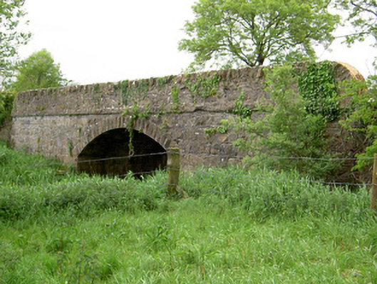 Bohereenbuee Bridgebridge · 1.0 mi
 CastleCastle, ringwork · 1.2 mi
 SlievenamuckMountain / peak · 1.6 mi
 Bansha ForestForest · 2.1 mi
 Site of CastleCastle, unclassified · 2.2 mi
 Glen of AherlowViewpoint · 3.3 mi
 Christ the KingViewpoint · 3.3 mi
 The RockViewpoint · 3.5 mi
 Knockanebrack HillMountain / peak · 3.9 mi
Other information
Photo: Credit not shown in the picture search · Rights wording not checked; contact us if this picture should be removed