What is recorded here
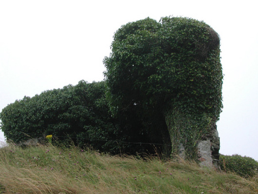
Freestanding rubble stone mine head, c.1800, on a rectangular plan. Now in ruins. Random rubble stone walls partly collapsed with lime mortar (ivy-clad). Set back from road in own grounds on an elevated site with overgrown grounds to site.
This structure, the remains of a copper and lead mine, is of importance as evidence of a medium-scale industrial practise that historically supported the economy of Knockmahon and Bunmahon. The structure in its present state forms a picturesque feature in the landscape.
From the Buildings of Ireland (National Inventory of Architectural Heritage) record 22812023
This does not grant access. Most recorded buildings are privately owned; view them only from public ground unless the owner allows entry.
Places near here
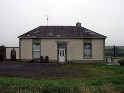 office118 yd
 Knockmahon National SchoolSchool · 139 ydEmbanked enclosureFairy fort / ringfort · 405 yd
 Copper CoastCoastal geological landscape · 445 ydGeological GardenVisitor information · 458 yd
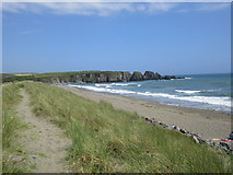 Bunmahon StrandBeach / strand · 806 yd
 Ballydowane CoveBeach / strand · 2.0 mi
 Boatstrand BeachBeach / strand · 2.4 mi
 Lime KilnVisitor information · 3.7 mi
 Dunhill CastleCastle · 4.2 mi
 Castle (in ruins)Castle, tower house · 4.2 mi
 Ballinageeragh DolmenArchaeological place · 4.2 mi
Pictures: National Inventory of Architectural Heritage; Veekrokki, Wikimedia Commons · Public domain; Jonathan Thacker, Geograph · CC BY-SA 2.0; ethics girl, Geograph · CC BY-SA 2.0; Colin Park, Geograph · CC BY-SA 2.0; Philip Halling, Geograph · CC BY-SA 2.0; Philip Halling, Wikimedia Commons · CC BY-SA 2.0; John M, Geograph · CC BY-SA 2.0; Alexander Redfern, Wikimedia Commons · CC BY-SA 4.0
More historic places in County Waterford · All of County Waterford
What do you know about this place?