What is recorded here
Described in the Civil Survey (1654-6) as a 'good coalemine for smithes' (Simington 1931, vol. 1, 130). On the 1903 ed. OS 6-inch map there is a 'coal pit (disused)' indicated c. 100m W of Coolquill castle (TS054-053----) but not on the first ed. OS 6-inch map. This may have been an early coal mine which was reworked in the 19th century. Mine unlocated within townland.
Compiled by: Jean Farrelly
Date of upload: 26 August 2011
The monument record does not grant public access. Check the route and ask the landowner before entering private land.
- What survives
- Recorded monument
Places near here
 CastleCastle, motte · 282 yd
 Coolquill CastleCastle · 358 yd
 Enclosure in CoolquillEnclosure · 814 yd
 Enclosure in KnockanattinEnclosure · 1247 yd
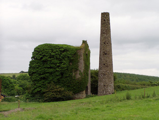 Mardyke Collieryengine house · 1.2 mi
 Mine in Ballinunty (graystown Par.),tullequaneMine · 1.6 mi
 Eagle HillMountain / peak · 1.8 mi
 Slieveardagh Heritage CentreVisitor information · 2.0 mi
 Waterloo HillMountain / peak · 2.3 mi
 Derrynaflan TrailHeritage attraction · 4.3 mi
 Gobban Saer's GraveArchaeological place · 4.9 mi
 Fenane WoodForest · 5.5 mi