
What is recorded here
Situated in the inter-tidal zone with sea-cliffs (H c. 10m) rising over it to the E. This is a rock platform of Old Red Sandstone conglomerate with four millstones in the process of being extracted (diam. 1.4-1.5m). There are two extracted but unfinished millstones nearby. Locally it is said the rising tide was used to expand wooden wedges in the rock to separate out the rough-outs, and they were floated off on barges. The date is not known, but the earliest reference is 1736 (Colfer 2004, 127-8) and it was still operating in the early 19th century (Lewis, 1837. vol. 1, 628).
The above description is derived from the published 'Archaeological Inventory of County Wexford' (Dublin: Stationery Office, 1996). In certain instances the entries have been revised and updated in the light of recent research.
Compiled by: Michael Moore
Date of upload/revision: 5 February 2014
The monument record does not grant public access. Check the route and ask the landowner before entering private land.
- What survives
- Recorded monument
Places near here
 Otter HoleBeach / strand · 402 yd
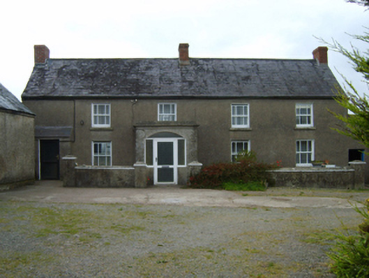 farm housefarm house · 603 yd
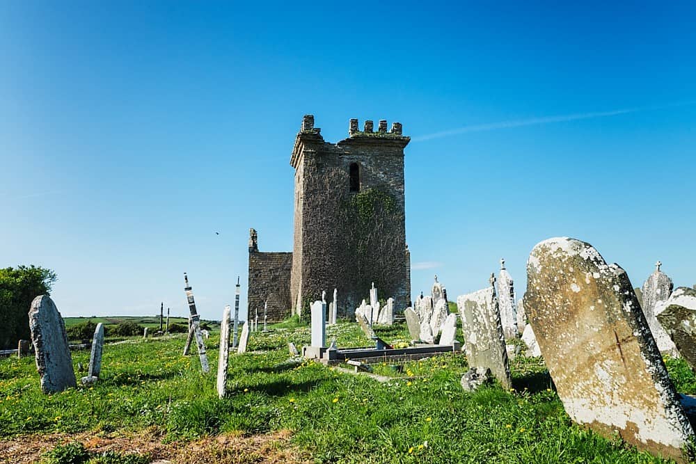 Embanked enclosureEnclosure · 724 yd
 Windmill (in Ruins)Windmill · 1065 yd
 mill (wind)mill (wind) · 1066 yd
 Boyce's BayBeach / strand · 1217 yd
 Houseland Castle (in ruins)Castle, tower house · 1255 yd
 IndicatedCastle, ringwork · 1636 yd
 Long RockNamed rock · 1.2 mi
 St. Dubhan's ChurchHeritage attraction · 2.5 mi
 Carricjmore CliffCliff · 2.6 mi
 hookHeritage attraction · 2.8 mi
Other information
Photo: Credit not shown in the picture search · Rights wording not checked; contact us if this picture should be removed