
What is recorded here
This feature is not marked on the 1839 ed. of the OS 6-inch map, and it is situated on a SE-facing slope. Only the S portion of this conical tower survives to the top of fourth floor with opposing doorways (ext. diam. 8.7m; int. diam. 6.85m at base). This is an industrialised pre-fabricated mill imported from the United States and built c. 1890 (Colfer 2004, 57, Fig. 46 E).
From the National Monuments Service (Archaeological Survey of Ireland) record WX049-019
The monument record does not grant public access. Check the route and ask the landowner before entering private land.
- What survives
- Recorded monument
Places near here
 mill (wind)1 yd
 Houseland Castle (in ruins)Castle, tower house · 192 yd
 Sandeel BayBeach / strand · 746 yd
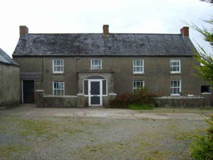 farm house1463 yd
 Slade CastleHouse, fortified house · 1.9 mi
 St. Dubhan's ChurchHeritage attraction · 2.3 mi
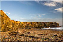 Carnivan BeachBeach / strand · 2.6 mi
 hookHeritage attraction · 2.6 mi
 Baginbun HeadHeadland · 2.8 mi
 Hook Tourism (Fethard Office)Visitor information · 3.1 mi
 Harbour and Park walk.Walking route · 4.3 mi
 Duncannon FortBastioned fort · 4.7 mi
Pictures: Mike Searle, Geograph · CC BY-SA 2.0; Sean O Briain, Geograph · CC BY-SA 2.0; Tim Kirby, Geograph · CC BY-SA 2.0; National Inventory of Architectural Heritage; Ianfhunter, Wikimedia Commons · CC BY-SA 4.0; Andreas F. Borchert, Wikimedia Commons · CC BY-SA 4.0; Alex Passmore, Geograph · CC BY-SA 2.0; P L Chadwick, Geograph · CC BY-SA 2.0; Paul O'Farrell, Geograph · CC BY-SA 2.0; Brian Hodge, Wikimedia Commons · CC BY-SA 2.0
More archaeology and monuments in County Wexford · All of County Wexford
What do you know about this place?