
What is recorded here
Houseland Castle stood as a four-storey tower with a vaulted ground floor and newel stairs on a slight south-facing slope in County Wexford. Andrew FitzRedmond held the land in 1471, while Henry Keating possessed the castle at the 1541 Suppression. Today only a rectangular foundation and a rubble cairn remain, hiding the chamber where people once lived, breathed and waited for danger or dinner.
Located on a slight S-facing slope. References to Houseland, then called Northtown as the most northerly townland in Hook parish, date from 1471 when Andrew FitzRedmond held a messuage or house and 80 acres there (Hore 1900-11, vol. 4, 347-8). Hook parish was part of the Templar, and after 1312 the Hospitaller, manor of Kilcloggan. At the Suppression in 1541 Henry Keating possessed 30 acres and the castle at Hounsland (ibid. 285). By 1640 Houseland had become the property of Nicholas Loftus (ibid 350).
The castle is described as a tower of four storeys with a vaulted ground floor and a newel stairs (Jeffrey 1979, 151-2). Today, the foundation course of a rectangular structure (ext. dims 5.95m E-W; 5.77m N-S) with an entrance (Wth 0.62m), or perhaps the outlet of a garderobe chute, towards the W end of the N wall and a rubble cairn (diam. 15m; H 1-1.6m) are the only visible remains at ground level.
The above description is derived from the published 'Archaeological Inventory of County Wexford' (Dublin: Stationery Office, 1996). In certain instances the entries have been revised and updated in the light of recent research.
Compiled by: Michael Moore
Date of upload/revision: 4 February 2014
Houseland Castle was held by Andrew FitzRedmond in 1471, who owned a messuage and 80 acres in the area then known as Northtown. It is remembered as one of the earliest recorded landholdings in the Hook parish, marking the northern extent of the townland.
The monument record does not grant public access. Check the route and ask the landowner before entering private land.
- What survives
- Recorded monument
Places near here
 mill (wind)mill (wind) · 192 yd
 Windmill (in Ruins)Windmill · 192 yd
 Sandeel BayBeach / strand · 677 yd
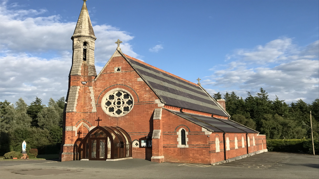 Brecaun Church (in ruins)Church · 810 yd
 Boyce's BayBeach / strand · 855 yd
 Site of R.C. ChapelChurch · 1053 yd
 Long RockNamed rock · 1.1 mi
 IndicatedCastle, ringwork · 1.5 mi
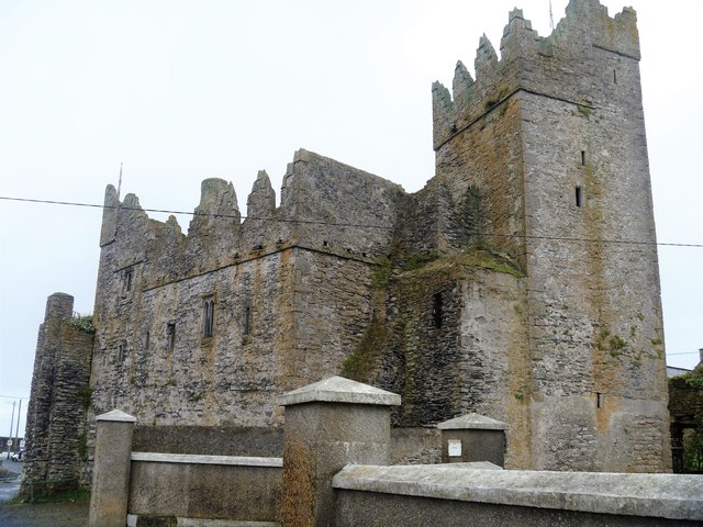 Slade CastleCastle, tower house · 1.9 mi
 St. Dubhan's ChurchHeritage attraction · 2.3 mi
 hookHeritage attraction · 2.6 mi
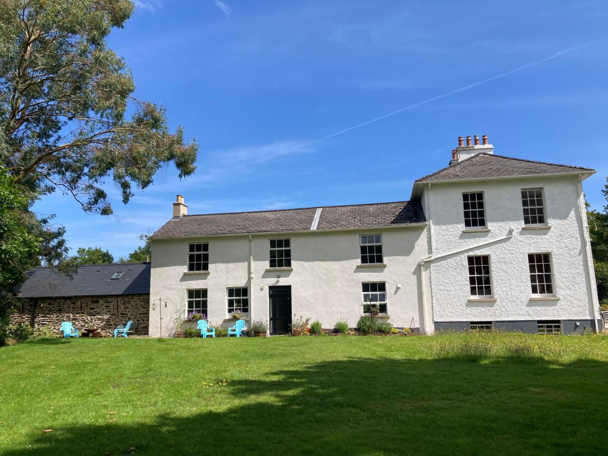 DoornogeHeadland · 2.7 mi
Other information
Photo: Sean O Briain · CC BY-SA 2.0