
What is recorded here
Situated on a slight S-facing slope. This is a possible Catholic church marked faintly as a rectangular feature (dims c. 10m x c. 10m) and described in italic lettering as the 'Site of R.C. Chapel' on the 1839 ed. of the OS 6-inch map. On a map of 1771 it is in an area called Heuclus, which could be a corruption of the Gaelic Eaglis – meaning a church (Hore 1900-11, vol. 4, 349-50). The foundations were visible c. 1900 (ibid. vol. 4, 345-6) but there are no visible remains now of a structure, enclosure or burials at ground level in pasture. The site of St Helen's Well (WX049-012002-) is nearby.
The above description is derived from the published 'Archaeological Inventory of County Wexford' (Dublin: Stationery Office, 1996). In certain instances the entries have been revised and updated in the light of recent research.
Date of upload/revision: 4 February 2014
Amended: 28 March, 2014
This remains an important historical record, but the official description says the monument is no longer visible or has been destroyed. The monument record does not grant public access. Check the route and ask the landowner before entering private land.
- What survives
- No visible remains or recorded as destroyed
Places near here
 St. Helens WellHoly well · 45 yd
 Field boundary in TempletownField boundary · 443 yd
 Sandeel BayBeach / strand · 559 yd
 All Saints' Catholic Churchpresbytery/parochial/curate's house · 934 yd
 mill (wind)mill (wind) · 1021 yd
 Houseland Castle (in ruins)Castle, tower house · 1053 yd
 Otter HoleBeach / strand · 1375 yd
 IndicatedCastle, ringwork · 1.2 mi
 Long RockNamed rock · 1.7 mi
 Baginbun HeadHeadland · 2.3 mi
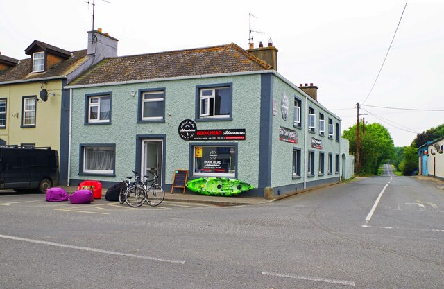 Hook Tourism (Fethard Office)Visitor information · 2.5 mi
 AshgroveVisitor information · 2.6 mi
Other information
Photo: Credit not shown in the picture search · Rights wording not checked; contact us if this picture should be removed