
What is recorded here
Located on a slight S-facing slope with a small WSW-ENE stream c. 100m to the SE. Some crop mark field drains are visible on aerial photograph (CUCAP: BGF 91) but they cannot be confirmed as ancient.
Compiled by: Michael Moore
Date of upload: 5 February, 2014
The monument record does not grant public access. Check the route and ask the landowner before entering private land.
- What survives
- Recorded monument
Places near here
 St. Helens WellHoly well · 420 yd
 Site of R.C. ChapelChurch · 443 yd
 All Saints' Catholic Churchpresbytery/parochial/curate's house · 746 yd
 Sandeel BayBeach / strand · 849 yd
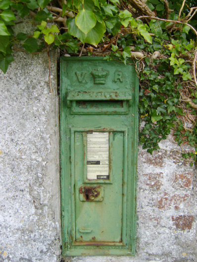 post boxpost box · 1200 yd
 Houseland Castle (in ruins)Castle, tower house · 1455 yd
 Otter HoleBeach / strand · 1686 yd
 IndicatedCastle, ringwork · 1.2 mi
 Long RockNamed rock · 1.9 mi
 Baginbun HeadHeadland · 2.1 mi
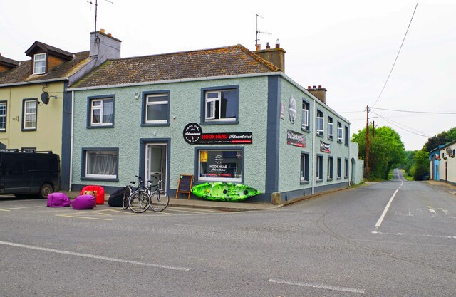 Hook Tourism (Fethard Office)Visitor information · 2.3 mi
 AshgroveVisitor information · 2.4 mi
Other information
Photo: Credit not shown in the picture search · Rights wording not checked; contact us if this picture should be removed