
What is recorded here
Marked as a circular bivallate embanked enclosure on the 1839 ed. of the OS 6-inch map. It is located on the level landscape of the Hook peninsula. It was described in 1987 as a circular area defined by an earthen bank of irregular dimensions, within which was a wet sunken area, rising to a dry mound towards centre (SMR file). It was subsequently reduced to a flat topped, oval, grass-covered mound (dims. 22m NE-SW; 13m NW;SE; H 1 2m) surrounded by a berm of wet uncultivated land (Wth 15-21m). It is a possibly barrow. The S end of linear earthwork (WX049-015002-) is c. c. 30m to the ENE.
From the National Monuments Service (Archaeological Survey of Ireland) record WX049-015001
Places near here
Photo credits
- National Inventory of Architectural Heritage
- Mike Searle, Geograph · CC BY-SA 2.0
- Sean O Briain, Geograph · CC BY-SA 2.0
- Tim Kirby, Geograph · CC BY-SA 2.0
- Ianfhunter, Wikimedia Commons · CC BY-SA 4.0
- Andreas F. Borchert, Wikimedia Commons · CC BY-SA 4.0
- Alex Passmore, Geograph · CC BY-SA 2.0
Boyce's BayBeach / strand · 344 yd Loftus HallWalled garden · 781 ydLong RockNamed rock · 957 ydmill (wind)1019 ydWindmill (in Ruins)Windmill · 1019 ydHouseland Castle (in ruins)Castle, tower house · 1048 ydSandeel BayBeach / strand · 1726 ydSite of Catholic ChapelChurch · 1.2 miSlade CastleHouse, fortified house · 1.4 miSt. Dubhan's ChurchHeritage attraction · 1.7 mihookHeritage attraction · 2.0 miDoornogeHeadland · 2.1 mi
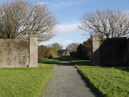 Loftus HallWalled garden · 781 ydLong RockNamed rock · 957 yd
 mill (wind)1019 yd
 Windmill (in Ruins)Windmill · 1019 yd
 Houseland Castle (in ruins)Castle, tower house · 1048 yd
 Sandeel BayBeach / strand · 1726 ydSite of Catholic ChapelChurch · 1.2 mi
 Slade CastleHouse, fortified house · 1.4 mi
 St. Dubhan's ChurchHeritage attraction · 1.7 mi
 hookHeritage attraction · 2.0 miDoornogeHeadland · 2.1 mi
More archaeology and monuments in County Wexford · All of County Wexford

What do you know about this place?Tap to add a comment or ask a question