What is recorded here
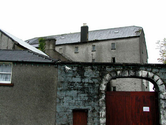
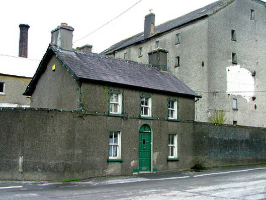
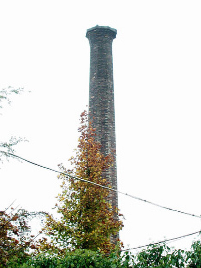
Detached multiple-bay six-storey with attic former flour mill, built c.1800, with return and extension to rear and outbuildings. Now disused. Set within its own grounds. Half-hipped slate roof with rendered chimneystacks and terracotta pots. Roughcast render to walls with cast-iron tie-bar plates. Window openings with stone sills and some timber casement windows surviving. Segmental-arched carriage entrance to site with tooled limestone voussoirs and replacement timber battened gates set to squared coursed limestone wall. Associated mill manager's house and forge beside gate, and chimneystack within grounds.
This mill complex, located beside the River Brosna, is a notable landmark in the industrial landscape of Clara. With the associated chimney, forge and mill manager's house, this significant structure is a reflection of the town's thriving industrial past. Probably predating the advent of the Goodbody family, but coming under their ownership in the nineteenth century. This flour mill remained in operation until the 1970s, except for a temporary closure in 1919 when it was completely refurbished by means of insurance money received after the burning of the Charlestown Mill. The building retains much of its original architectural form and features. The entrance is particularly striking with its skillfully executed stonework forming a prominent feature in the streetscape, not least due to the contrast between it and its predominantly rendered surroundings.
This does not grant access. Most recorded buildings are privately owned; view them only from public ground unless the owner allows entry.
Places near here
 Errymill Cottageforge/smithy · 31 yd
 Historic buildingOfficially recorded historic building · 33 yd
 Chapel HillForest · 562 yd
 Enclosure in ClaraEnclosure · 841 yd
 Termon Cross (Site of)Cross, Termon cross · 900 yd
 Kilcoursey Castle (in Ruins)Bawn · 1123 yd
 Clara Bog BoardwalkHeritage attraction · 1.5 mi
 ToberaskeenSpring · 2.0 mi
 Kilmalady HillMountain / peak · 2.4 mi
 Roughan HillMountain / peak · 2.4 mi
 Gorteen CastleCastle, unclassified · 2.4 mi
 Inchaloon IslandIslet · 2.5 mi
Other information
Photo: National Inventory of Architectural Heritage · Website use allowed for educational or private purposes with source credit