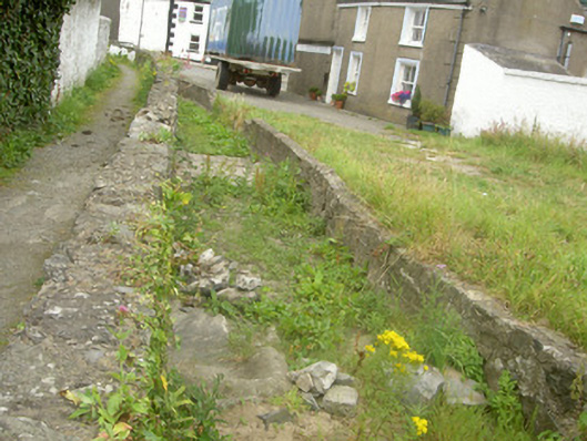
What is recorded here
Former millrace, built c. 1650, running north-east to south-west, becoming culvert to south-west, now disused. Rubble stone walling, soldier coping to south wall, whitewashed walling to south-west, drain to mid-section of south wall, stone lined culvert going beneath street to south-west. Set to side of lane running eastwards off Dundalk Street, remains of Dominican Abbey to north.
Located within the medieval boundary of Carlingford and alongside the fourteenth-century Dominican Abbey, the remains of this mill race and culvert are reminders of the former self-sufficiency of the Dominican Abbey and of medieval Carlingford. It forms an important feature within the urban fabric of Carlingford.
This does not grant access. Most recorded buildings are privately owned; view them only from public ground unless the owner allows entry.
Places near here
 The Abbey Barhouse · 50 yd
 AbbeyReligious house, Dominican friars · 56 yd
 Graveyard in Liberties OF CarlingfordGraveyard · 211 yd
 Carlingford Heritage CentreVisitor information · 234 yd
 TholselGatehouse · 277 yd
 Town GateHeritage attraction · 280 yd
 Carlingford Ogham StoneMemorial · 294 yd
 CastleCastle, tower house · 405 yd
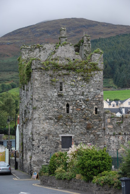 Taaffe's CastleCastle · 410 yd
 Carlingford - Loop 1A- Commons LoopWalking route · 568 yd
 Town defences in Liberties OF CarlingfordTown defences · 650 yd
 The Last Leprechauns of IrelandVisitor information · 660 yd
Other information
Photo: National Inventory of Architectural Heritage · Website use allowed for educational or private purposes with source credit