What is recorded here
Thomas Arthur's mill, one of a pair of mills (LI005-017075-) located between King John's Castle (LI005-017014-) and the medieval quay (LI005-017072-) (Leask 1941, 101). This is marked as 'Upper Mills' on map in O'Flaherty (2010, 3, Fig. 3) where it is described as 'Newgate Lane, W. end, in Curragour Castle. Mill…
Read the whole record
From the National Monuments Service (Archaeological Survey of Ireland) record LI005-017074
Places near here
Photo credits
- National Inventory of Architectural Heritage
- vincent campbell, Wikimedia Commons
- Maker not stated on source page, en.wikipedia.org
- Parteen–Meelick GAA official account (photographer not named), x.com
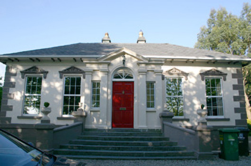 Janemount HouseHouse · 1005 yd
Explorer Tom Janemount House in Limerick Municipal Borough has been feuding with the rain since the nineties, claiming it’s too…
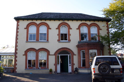 Curramorna HouseHouse · 1075 yd
Explorer Tom Curramorna House in Limerick is being picked on by the wind because it stands out from the housing schemes. It has the…
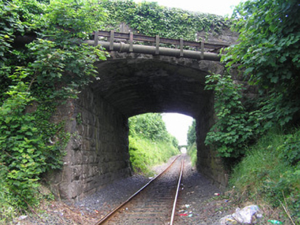 bridge1099 yd
Explorer Tom Bridge in Limerick Municipal Borough is showing off its masonry skills, probably thinking it won a beauty contest. If…
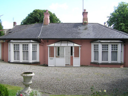 AshtonHouse · 1194 yd
Explorer Tom Ashton on Corbally Road is splitting itself into two homes, which I bet means they are already fighting over who gets…
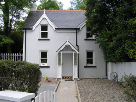 Rose LodgeOutbuilding · 1229 yd
Explorer Tom Rose Lodge in Limerick has seagulls that are constantly critiquing its appearance, probably because they think the…
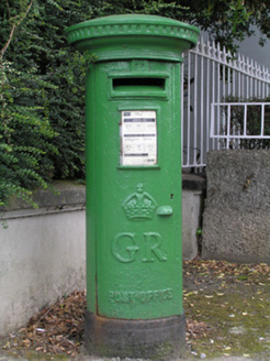 post box1231 yd
Explorer Tom Post box in Limerick Municipal Borough has a name that means 'King George’s Grumpy Sock' if you ask me. It wears the…
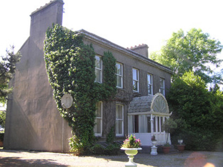 Roseville HouseHouse · 1253 yd
Explorer Tom Roseville House would review its visitors as 'adequate, perhaps slightly damp'. It has a unique cast-iron porch that…
 Markets Field StadiumLeague of Ireland ground · 1258 yd
Explorer Tom Markets Field keeps Limerick football close enough to hear the shouts from the far touchline. Treaty United call this…
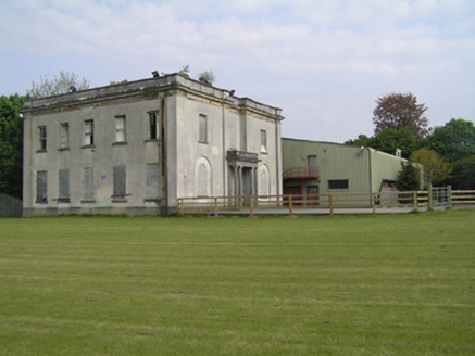 ShelbourneHouse · 1288 yd
Explorer Tom Shelbourne in Limerick has a solid plan for retirement, involving ninety-nine years of rent dodging. Horatio Nelson…
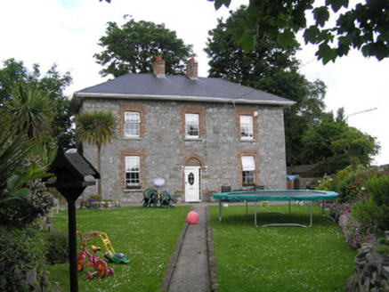 SunnysideBarracks · 1290 yd
Explorer Tom Sunnyside in Limerick is a barracks that lost its brains but kept its stubborn triangular shape, like a slice of cheese…
 CastleCastle, unclassified · 1.1 mi
Explorer Tom Castle in Moylish, County Limerick makes a weird humming sound at night. Nobody knows why, but it’s definitely not the…
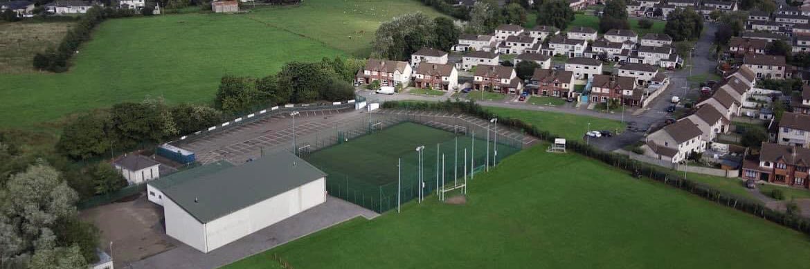 Parteen GAA pitchGAA ground · 1.2 mi
More historic places in County Limerick · All of County Limerick

What do you know about this place?Tap to add a comment or ask a question