What is recorded here
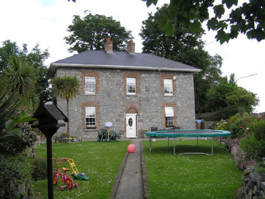
Sunnyside in Limerick is a former barracks squeezed onto a triangle between Mill Road and Corbally Road. A wicked place to be questioned: ‘And where were you standing?’ ‘In the corner.’ ‘You’ll have to do better than that.’
Detached three-bay two-storey corner-sited exposed rubble limestone former constabularly barracks, built c. 1852, facing south on a triangular site forming the junction between the Mill Road and Corbally Road. Now in use as a domestic house. Hipped artificial slate roof with two red brick chimneystacks and uPVC rainwater goods on uPVC overhanging eaves. Coursed and squared rubble limestone walls with cement pointing, cement rendered walls to rear and side elevations. Camber-headed window openings with ganged red brick flat arches and reveals, uPVC windows and limestone sills. Round-headed central front door opening with bricked-up red brick arch, and flush brick label above; replacement uPVC door. Liscannor stone immediate front site enclosed by rubble limestone wall with two piers and wrought-iron gate and pedestrian gate, to apex of triangular site. Further modern steel pedestrian gate on two piers to Corbally Road. Pair of sheet iron gates to Mill Road giving vehicular access to rear.
Extensively renovated in the last ten years, this former barracks has lost all of its salient features yet contains its curious boundary walls to this triangular site. Although originally rendered its stone façade and prominent position make it an attractive feature at this corner site.
From the Buildings of Ireland (National Inventory of Architectural Heritage) record 21505002
This does not grant access. Most recorded buildings are privately owned; view them only from public ground unless the owner allows entry.
Places near here
Photo credits
- National Inventory of Architectural Heritage
- David Hawgood, Geograph · CC BY-SA 2.0
- Colin Park, Geograph · CC BY-SA 2.0
- N Chadwick, Geograph · CC BY-SA 2.0
- N Chadwick, Geograph · Creative Commons Attribution-ShareAlike 2.0
- Roland Czaczyk ( FreeBird 19:17, 23 December 2006 (UTC)), Wikimedia Commons · Public domain
- Henry Edward Doyle, Wikimedia Commons · Public domain
- Charles Oliver Murray, Wikimedia Commons · Public domain
- Gareth James, Geograph · CC BY-SA 2.0
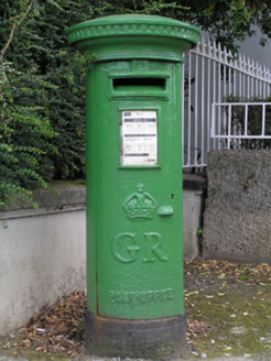 post box78 yd
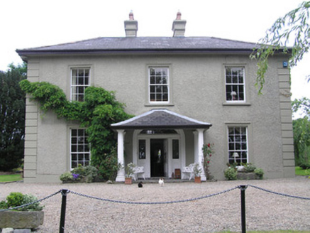 CnoicínHouse · 89 ydFortification in AthlunkardFortification · 698 yd
 King's IslandIsland · 915 yd
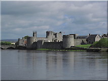 CastleCastle, unclassified · 1115 yd
 Michael HoganMemorial · 1121 yd
 CastleCastle, ringwork · 1161 yd
 Merchants QuayQuay · 1374 yd
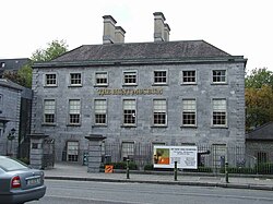 Hunt MuseumMuseum · 1485 yd
 Siege of LimerickSiege · 1571 yd
 Siege of LimerickSiege · 1571 yd
 Shannon IslandIslet · 1.0 mi
More historic places in County Limerick · All of County Limerick
What do you know about this place?