What is recorded here
In the course of the siege of Limerick in 1691 the Williamite commander, General Ginkel, decided to effect a crossing of the River Shannon in order to attack the town from its north-western or Clare side. On 15/16 September a temporary pontoon crossing was established utilising the small island, Illaunaroan. Having transferred a sufficient detachment of troops to the Clare side of the river and beaten off a small force of Jacobites, the besiegers set about constructing a second and more secure pontoon bridge down river where Athlunkard Bridge stands today (CL063-026----). The Williamite, Colonel Michael Richards, recorded in his journal that it was Ginkel’s decision to build the second bridge on the 19 September he notes that ‘We worked hard at this new bridge, as also at a horn-work on the other side to cover the same.’ (Gilbert 1892, 294). This bridge was completed on the following day and on the day after he recorded that they continued to finish the hornwork (ibid., 295). Both bridges are shown on the map of the siege printed in George Story’s ‘History’ (1693, facing 224) who also mentions that when the Williamites returned to camp they left ‘a guard in a fort newly cast up on the other side, to secure our bridge’ (ibid., 218). This hornwork is represented on the map as having two forward projecting small bastions (see attached). It is not represented on any other map of Limerick though the location of both pontoon bridges is shown on that drawn by William Eyres c. 1752 (O’Flaherty 2010, map 16): it seems likely, however, that many of the items relating to the 1691 siege included on this map are representational of the account published by Story.
In the course of the siege of Limerick in 1691 the Williamite commander, General Ginkel, decided to effect a crossing of the River Shannon in order to attack the town from its north-western or Clare side. On 15/16 September a temporary pontoon crossing was established utilising the small island, Illaunaroan. Having transferred a sufficient detachment of troops to the Clare side of the river and beaten off a small…
From the National Monuments Service (Archaeological Survey of Ireland) record CL063-030
The monument record does not grant public access. Check the route and ask the landowner before entering private land.
- What survives
- Recorded monument
Places near here
Photo credits
- George Imbusch (1928), Wikimedia Commons · CC BY-SA 3.0
- National Inventory of Architectural Heritage
- David Hawgood, Geograph · CC BY-SA 2.0
- Colin Park, Geograph · CC BY-SA 2.0
- N Chadwick, Geograph · CC BY-SA 2.0
- Mike Shinners, Wikimedia Commons · CC BY-SA 2.0
- Bjørn Christian Tørrissen, Wikimedia Commons · CC BY-SA 3.0
- N Chadwick, Geograph · Creative Commons Attribution-ShareAlike 2.0
 Athlunkard BridgeBridge · 83 yd
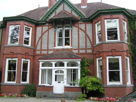 WoodlandsHouse · 569 ydFulacht fia in Corbally (limerick Municipal Borough)Fulacht fia · 737 ydLough Derg WayWalking route · 1332 yd
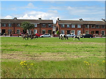 King's IslandIsland · 1590 yd
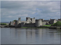 CastleCastle, unclassified · 1.0 mi
 Michael HoganMemorial · 1.0 mi
 CastleCastle, ringwork · 1.1 mi
 King John's Visitor's CentreMuseum · 1.1 mi
 King John's CastleHeritage attraction · 1.1 mi
 The Treaty StoneMemorial · 1.1 mi
 Merchants QuayQuay · 1.2 mi
More archaeology and monuments in County Clare · All of County Clare
What do you know about this place?