
More pictures of this place


What is recorded here
Athlunkard Bridge gets you from Limerick into Clare without leaving the road, which is dangerous convenience during a hurling argument. Cross halfway and the very same opinion becomes brave away support.
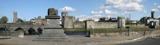
Five-arch cut limestone road bridge over the River Shannon, begun in 1826 and completed in 1830, running on an east-west axis from Corbally Road in to Co. Clare. Segmental-headed arches with cut stone voussoirs and limestone ashlar cutwaters on a pointed-arch plan. Rock-faced squared and snecked limestone ashlar walls with half-barrel coping to parapet wall. Curved wings to either end of both elevations, terminating in full-height piers. A smooth limestone platband defines the imposts, which continue under the soffits. A similar platband defines the base of the parapet. Three inscribed plaques give the dates of the commencement (1826) and completion of the bridge (1830); the name of the architects, the local MP (Thomas Spring Rice) and the county boundary marker.
Designed and built by the architects, James and George Richard Pain, this bridge is of high design quality and displays the best stone masonry skills of the day. Atlunkard Bridge is the first bridge to cross the River Shannon as it turned southeast. Its strategic and infrastructural importance is further highlined as it not only forms a county boundary between Limerick and Clare, but following its construction, it enlarged the effective hinterland of the city from the confines of the River Shannon. The bridge linked Park and Corbally with the network of streets on King's Island, through to Mathew Bridge and on to the Rutland Street-George's Street axis, and became one of the principal routes within the city and through to the west of Ireland. The bridge cost £7,000.
The story behind this place
Its strategic and infrastructural importance is further highlined as it not only forms a county boundary between Limerick and Clare, but following its construction, it enlarged the effective hinterland of the city from the confines of the River Shannon.
From the Buildings of Ireland (National Inventory of Architectural Heritage) record 21502002
This does not grant access. Most recorded buildings are privately owned; view them only from public ground unless the owner allows entry.
Places near here
Photo credits
- National Inventory of Architectural Heritage
- David Hawgood, Geograph · CC BY-SA 2.0
- Colin Park, Geograph · CC BY-SA 2.0
- N Chadwick, Geograph · CC BY-SA 2.0
- Mike Shinners, Wikimedia Commons · CC BY-SA 2.0
- Bjørn Christian Tørrissen, Wikimedia Commons · CC BY-SA 3.0
- N Chadwick, Geograph · Creative Commons Attribution-ShareAlike 2.0
Fortification in AthlunkardFortification · 83 yd WoodlandsHouse · 489 ydRiver ViewHouse · 509 ydLough Derg WayWalking route · 1326 ydKing's IslandIsland · 1509 ydCastleCastle, unclassified · 1731 ydMichael HoganMemorial · 1739 ydCastleCastle, ringwork · 1.0 miKing John's Visitor's CentreMuseum · 1.0 miKing John's CastleHeritage attraction · 1.0 miThe Treaty StoneMemorial · 1.1 miMerchants QuayQuay · 1.1 mi
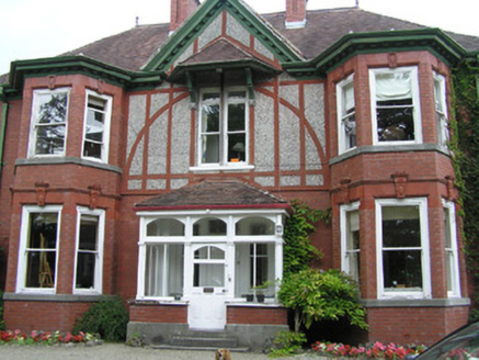 WoodlandsHouse · 489 yd
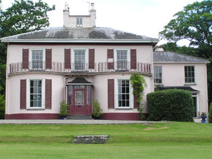 River ViewHouse · 509 ydLough Derg WayWalking route · 1326 yd
 King's IslandIsland · 1509 yd
 CastleCastle, unclassified · 1731 yd
 Michael HoganMemorial · 1739 yd
 CastleCastle, ringwork · 1.0 mi
 King John's Visitor's CentreMuseum · 1.0 mi
 King John's CastleHeritage attraction · 1.0 mi
 The Treaty StoneMemorial · 1.1 mi
 Merchants QuayQuay · 1.1 mi
More historic places in County Limerick · All of County Limerick
What do you know about this place?