DDiscover AloneMapAbout

Mill in Athlone

Mill, corn

The monument record does not grant public access. Check the route and ask the landowner before entering private land.

What do you know about this place?Tap to add a comment or ask a question

What you write will be public.

What is recorded here

One of three mills (WM029-042079-; WM029-042080-) built onto the S face of the 16th century bridge (WM029-042004-) of Athlone. This mill was located at the E end of the bridge built onto the S face of the final arch of the 16th century bridge (WM029-042004-) and is shown on Thomas Sherrard's map of Athlone dating from…

Read the whole record
One of three mills (WM029-042079-; WM029-042080-) built onto the S face of the 16th century bridge (WM029-042004-) of Athlone. This mill was located at the E end of the bridge built onto the S face of the final arch of the 16th century bridge (WM029-042004-) and is shown on Thomas Sherrard's map of Athlone dating from 1784 (RCB Ms. 151; Murtagh 1994, map 7(A)). The mill known as Jones's Flour mill was built on the site of the 16th century mill and may have incorporated some of the fabric of this mill. Jones's mill was demolished c. 1840 (Murtagh 1994, 12). Sir Henry Piers writing in 1682, described several undershaft mills (WM029-042080-; WM029-042100-) located at either end of the medieval bridge (WM029-042004-) of Athlone. In 1682 he wrote that 'this bridge, tho’ the arches thereof be wide and large, causeth the river, which here is very deep, to rise and swell backwards, so that under it the river hath a great fall, which giveth an advantageous situation to several undershaft mills (WM029-042079-; WM029-042080-) at each end of the bridge' (Vallancey 1786, 86). In 1570 the Crown granted a lease to Edmund O’Fallon, a merchant of Athlone which included the condition that he was within two years of this date ‘to erect a substantial corn mill of stone, roofed with tile or slate, upon the weir (WM029-042081-) of the river Shynnen at such place as the lord president shall think fit so that it be not prejudicial to the river of Athlone and the new bridge (WM029-042004-) there. The president of Connaght to have grist ground toll free, and the use of the weirs two nights every month’ (Nicholls 1994, 218-19). In 1578 a lease was granted to Edmund O’Fallon of ‘two water mills upon the bridge of Athelone, and a castle (WM029-042061-) on the east side of the bridge with a parcel of land adjoining, in co. Westmeath. To hold for 21 years. Rent, 12d. In consideration of his having himself built the mills and castle, which mills grind only for a quarter of the year, and his undertaking to grind toll free the corn required in her majestie’s house of Athlone. But for these considerations the rent would be £3 10s. Not to alien without license’ (Nicholls 1994, 474). In 1597 the Crown granted a lease to ‘Dermod M’Gwyff, of Athloane, gent.; of two water mills built by him on the bridge (WM029-042004-) of Athloane upon the second next arch to Edm. O’Fallon’s mills. To hold for 21 years. Rent £3 10s. The rent had formerly been 12d. with the condition of grinding part of the corn for the castle (WM029-042002-), for which this increased rent is substituted. Provided also that the lessee enrol this lease in the auditor general’s office, within four months; and put in sufficient security for the rent, within three months, in the chief remembrancer’s office’ (Nicholls 1994, 295). In the same year the Crown granted to Edward Fitz Gerald of Rathsillagh a 31 year lease of lands which included ‘a mill upon the water of Clonkille, co. Roscommon, in the province of Connaght, parcel of the late abbey of Athlone, two other mills upon the bridge (WM029-042004-) of Athlone and a castle at the east part of the bridge, and a small piece of land adjoining the said castle in co. Westmeath, parcel of the queen’s ancient inheritance’ (Nicholls 994, 301). There is also documentary evidence to suggest that there were four corn mills, the location of which is unknown, in 1675 (Murtagh 1994, 12). Three watermills located on the medieval bridge of Athlone are depicted on Thomas Sherrard's map (RCB Ms. 151; Murtagh 1994, map 7(A)) of Athlone dating from 1784. On this map two watermills are located at the E end of the bridge built up against the S face of the bridge, a third bridge is shown at the W end of the bridge built up the S face of the bridge. The two mills at the E end of the bridge were probably the same mills that were constructed in the 1570s by Edmund O Fallon of Athlone.

From the National Monuments Service (Archaeological Survey of Ireland) record WM029-042079

Places near here

Photo credits
  • Pat Byrne, Geograph · Creative Commons Attribution-ShareAlike 2.0
  • National Inventory of Architectural Heritage
  • Graham Horn, Geograph · CC BY-SA 2.0
  • Oliver Dixon, Geograph · CC BY-SA 2.0
  • PatWhelehan, Wikimedia Commons
  • Peter Gerken, Wikimedia Commons · CC BY-SA 2.0
WeirWeir, fish · 129 yd

Explorer Tom Weir is a fish trap that has a very devoted, imaginary fan club of medieval monks who just couldn’t stop bragging about…
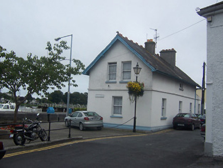
Athlone LockLock keeper's house · 148 yd

Explorer Tom Athlone Lock was nearly sold for a horse because the lock keeper’s house wasn’t worth much cash. It sits on the quay…

CastleCastle, unclassified · 223 yd

Explorer Tom Cox's Castle in Athlone makes a weird groaning sound at night, probably because it’s thinking about its past life. It…
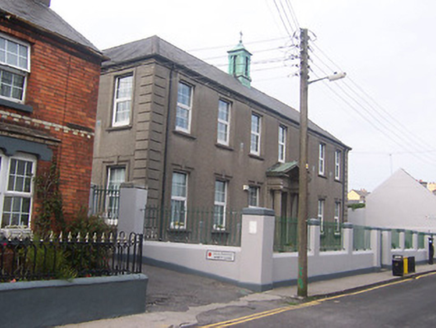
Scoil Náisiúnta Naoimh Peadar agus PólSchool · 241 yd

Explorer Tom Scoil Náisiúnta Naoimh Peadar agus Pól is confused about why the map makers put it in two different towns at once. It’s…

store/warehouse, outbuilding244 yd

Explorer Tom Store or warehouse in Athlone and Bigmeadow is now a Thai restaurant, so its imaginary fan club smells like lemongrass…
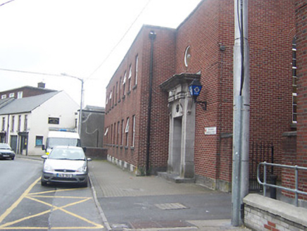
Athlone Garda Síochána StationGarda station/constabulary barracks · 291 yd

Explorer Tom Athlone Garda Síochána Station in Ranelagh is showing off that fancy limestone doorcase like it’s winning a county fair…
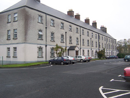
Custume BarracksBarracks · 293 yd

Explorer Tom Custume Barracks has a hidden message in its stones if you squint hard enough and whisper loudly, I’m told. Built in…
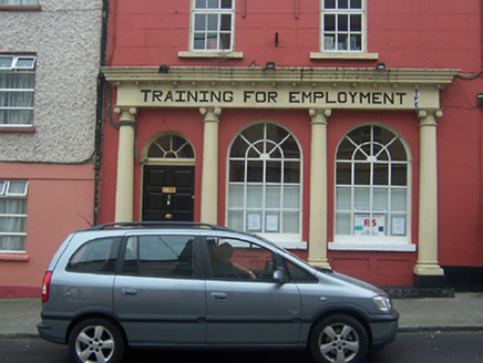
bank/financial institution344 yd

Explorer Tom Bank in Athlone and Bigmeadow is a former bishop's residence that still thinks tourists from Dublin are here to deposit…

graveyard/cemetery397 yd

Explorer Tom Graveyard or cemetery in Athlone and Bigmeadow took about three million cups of tea to build, mostly for the nuns who…
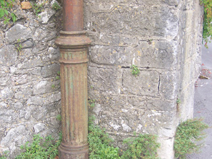
vent pipe404 yd

Explorer Tom Vent pipe in Athlone would tell you in a job interview that it has great flow and knows how to handle pressure. It’s…

Burgess ParkPark · 648 yd

Explorer Tom Burgess Park gives Athlone a green stretch on the east bank of the River Shannon, with paths and a playground close to…

Siege of AthloneSiege · 1384 yd

Explorer Tom Another Siege of Athlone event is telling the place that replaced it to stop acting so modern, as if concrete is…

More historic places in County Westmeath · All of County Westmeath

Add to this placeAdd a picture Add a detailed tip Add a story

Explore the map1,095,414 places to discover

Next place · or swipeWeir